Latitude: 51.9496 / 51°56'58"N
Longitude: -0.5326 / 0°31'57"W
OS Eastings: 500949
OS Northings: 228921
OS Grid: TL009289
Mapcode National: GBR G46.Q57
Mapcode Global: VHFR5.Q897
Plus Code: 9C3XWFX8+VX
Entry Name: The Bell Public House
Listing Date: 26 September 1980
Grade: II
Source: Historic England
Source ID: 1159614
English Heritage Legacy ID: 36131
ID on this website: 101159614
Location: Toddington, Central Bedfordshire, LU5
County: Central Bedfordshire
Civil Parish: Toddington
Built-Up Area: Dunstable
Traditional County: Bedfordshire
Lieutenancy Area (Ceremonial County): Bedfordshire
Church of England Parish: Toddington
Church of England Diocese: St.Albans
Tagged with: Pub
1. 5125 TODDINGTON MARKET SQUARE (west side)
The Bell Public House TL 0028 20/342
II
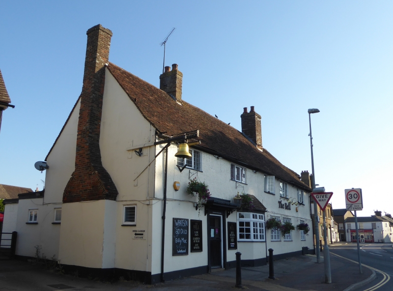
2. C17. Roughcast. Two storeys. Old clay tile roof. Five leaded casements to first floor. Ground floor has 3 casements with glazing bars. Canted bay to left of centre. Doorhood.
Listing NGR: TL0102428868
External links are from the relevant listing authority and, where applicable, Wikidata. Wikidata IDs may be related buildings as well as this specific building. If you want to add or update a link, you will need to do so by editing the Wikidata entry.


Other nearby listed buildings