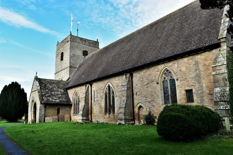
Latitude: 52.2055 / 52°12'19"N
Longitude: -2.8734 / 2°52'24"W
OS Eastings: 340408
OS Northings: 256718
OS Grid: SO404567
Mapcode National: GBR FC.33WD
Mapcode Global: VH77C.4TSN
Plus Code: 9C4V644G+5J
Entry Name: St Mary's
Listing Date: 20 February 1953
Last Amended: 10 November 1987
Grade: II
Source: Historic England
Source ID: 1157698
English Heritage Legacy ID: 149858
ID on this website: 101157698
Location: Lower Hardwick, County of Herefordshire, HR6
County: County of Herefordshire
Civil Parish: Eardisland
Traditional County: Herefordshire
Lieutenancy Area (Ceremonial County): Herefordshire
Church of England Parish: Eardisland
Church of England Diocese: Hereford
Tagged with: Architectural structure
SO 45 NW EARDISLAND CP LOWER HARDWICK
4/76 St Mary's (formerly listed as 20.2.53 premises opposite and to north of Lower Hardwick Farmhouse)
GV II
House. Late C16, restored and extended late C20. Timber-frame with rendered infill on a coursed rubble plinth, extended in random rubble under a slate roof. T-plan, cross-wing aligned north/south, other range to west. Main lateral stack on east wall of rubble with brick shaft. South front has the two-storey gabled and jettied cross-wing to the right with two 2-light casements over a 3-light casement. To left a C20 single-storey lean-to against rear wing with a 3-light casement, attic above lit by two gabled dormers. Entrance in the west gable end of subsidiary range. Framing: four square panels high to jettied gable. Side (east) wall is close-studded with mid-rail.
Listing NGR: SO4040856718
External links are from the relevant listing authority and, where applicable, Wikidata. Wikidata IDs may be related buildings as well as this specific building. If you want to add or update a link, you will need to do so by editing the Wikidata entry.


Other nearby listed buildings