Latitude: 54.4983 / 54°29'54"N
Longitude: -1.0647 / 1°3'52"W
OS Eastings: 460674
OS Northings: 511848
OS Grid: NZ606118
Mapcode National: GBR PJ0F.97
Mapcode Global: WHF8L.M67B
Plus Code: 9C6WFWXP+84
Entry Name: Percy Rigg Cross
Listing Date: 5 May 1952
Grade: II
Source: Historic England
Source ID: 1151362
English Heritage Legacy ID: 333195
ID on this website: 101151362
Location: North Yorkshire, TS9
County: North Yorkshire
District: Hambleton
Civil Parish: Kildale
Traditional County: Yorkshire
Lieutenancy Area (Ceremonial County): North Yorkshire
Church of England Parish: Kildale St Cuthbert
Church of England Diocese: York
KILDALE PERCY CROSS RIGG NZ 61 SW North-east side Percy Rigg Cross 2/136 5/5/52 II
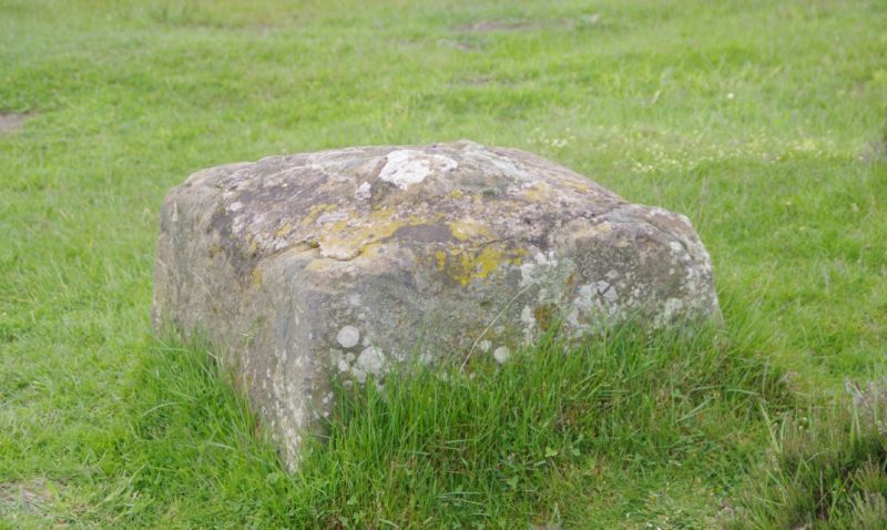
Cross base. Probably medieval. Tooled stone. Square on plan with chamfered sides. Benchmark on west side. Central socket with cut- off section of stone shaft.
Listing NGR: NZ6067411848


Other nearby listed buildings