Latitude: 54.2037 / 54°12'13"N
Longitude: -1.5881 / 1°35'17"W
OS Eastings: 426964
OS Northings: 478735
OS Grid: SE269787
Mapcode National: GBR KMBT.ZV
Mapcode Global: WHC7F.KLZR
Plus Code: 9C6W6C36+FQ
Entry Name: Tanfield Bridge
Listing Date: 28 July 1989
Grade: II
Source: Historic England
Source ID: 1150786
English Heritage Legacy ID: 332705
ID on this website: 101150786
Location: West Tanfield, North Yorkshire, HG4
County: North Yorkshire
District: Hambleton
Civil Parish: West Tanfield
Built-Up Area: West Tanfield
Traditional County: Yorkshire
Lieutenancy Area (Ceremonial County): North Yorkshire
SE 2678
10/123
WEST TANFIELD
A6108
Tanfield Bridge
GV
II
Bridge. 1734 and later C18. Ashlar. West side of 1734, east side late C18.
West side: 3 segmental arches with voussoirs and hoodmoulds. Triangular
sectional cutwaters either side of central arch rising into palisters. Round
end piers with semi-spherical caps. Band, parapet with flat copings. To
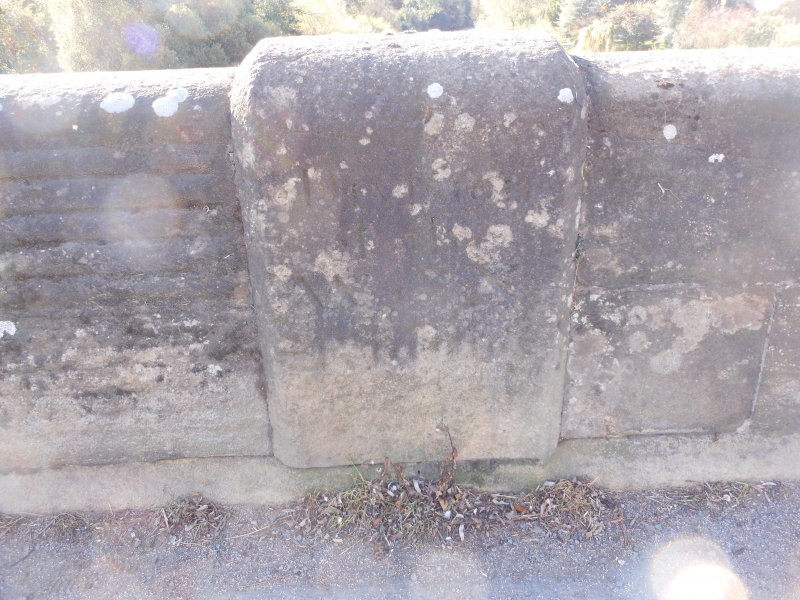
centre of parapet inside, an inscription, 'Division of North and West Riding'.
East side similar but with banded and rusticated stonework. Half the bridge
crosses North Stainley with Slenningford.
Listing NGR: SE2696478735


Other nearby listed buildings