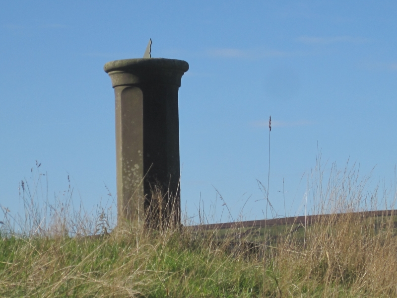
Latitude: 54.3696 / 54°22'10"N
Longitude: -1.0373 / 1°2'14"W
OS Eastings: 462643
OS Northings: 497543
OS Grid: SE626975
Mapcode National: GBR PK6X.7D
Mapcode Global: WHF96.1FBK
Plus Code: 9C6W9X97+R3
Entry Name: Sundial Approximately 20 Metres South East of Smout House
Listing Date: 24 June 1987
Grade: II
Source: Historic England
Source ID: 1149070
English Heritage Legacy ID: 328841
ID on this website: 101149070
Location: North Yorkshire, YO62
County: North Yorkshire
District: Ryedale
Civil Parish: Bransdale
Traditional County: Yorkshire
Lieutenancy Area (Ceremonial County): North Yorkshire
Church of England Parish: Kirkbymoorside All Saints
Church of England Diocese: York
Tagged with: Sundial
SE 69 NW
3/10
BRANSDALE
BRANSDALE
(east side)
Sundial approximately 20 metres south-east of Smout House
II
Sundial. Early C19. Sandstone. Octagonal pedestal and base approximately
1.36 metres high, raised on 2 steps, square on plan. Circular top face of
pedestal inscribed with points of the compass.
Listing NGR: SE6264397543
External links are from the relevant listing authority and, where applicable, Wikidata. Wikidata IDs may be related buildings as well as this specific building. If you want to add or update a link, you will need to do so by editing the Wikidata entry.


Other nearby listed buildings