Latitude: 54.3609 / 54°21'39"N
Longitude: -0.9768 / 0°58'36"W
OS Eastings: 466588
OS Northings: 496638
OS Grid: SE665966
Mapcode National: GBR PLM0.BH
Mapcode Global: WHF96.ZN16
Plus Code: 9C6X926F+97
Entry Name: Farmbuildings Approximately 10 Metres South East of Hazel House
Listing Date: 24 June 1987
Grade: II
Source: Historic England
Source ID: 1149051
English Heritage Legacy ID: 328892
ID on this website: 101149051
Location: Church Houses, North Yorkshire, YO62
County: North Yorkshire
District: Ryedale
Civil Parish: Farndale West
Traditional County: Yorkshire
Lieutenancy Area (Ceremonial County): North Yorkshire
Church of England Parish: Kirkbymoorside All Saints
Church of England Diocese: York
Tagged with: Agricultural structure
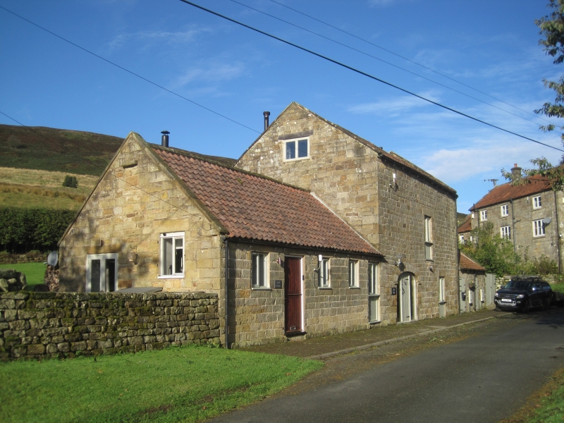
FARNDALE WEST DALESIDE ROAD SE 69 NE (west side) 4/58 Farmbuildings approximately 10 metres south-east of Hazel House - II Loose boxes; cart-shed and stable with loft over; pigsties with a hen-house above. 1824 on datestone. Tooled sandstone with pantile roof. 2-storey cart-shed and loft to centre with 1 1/2-storey range of pigsties to right and single-storey range of loose boxes to left. Double board doors to left of 2-storey front beneath segmental cart arch of tooled shaped voussoirs on rolled imposts. Datestone to centre inscribed: I W F 1824 Stable door to right and to first floor centre: 2 similar doors to pigsties with feeding troughs to right of each. To left range, 2 stable doors separated by 3 square window openings, 2 slatted. Tooled lintels to all openings. Coped gables to each range. Right gable end: an external flight of stone steps with kennel beneath leads to board door to hen-house. Square pivoting light with small panes to loft gable end above. A finely-built, well-preserved all-purpose range of farmbuildings situated beside the only road along the west side of the Dale.
Listing NGR: SE6658896638
External links are from the relevant listing authority and, where applicable, Wikidata. Wikidata IDs may be related buildings as well as this specific building. If you want to add or update a link, you will need to do so by editing the Wikidata entry.


Other nearby listed buildings