Latitude: 54.4894 / 54°29'21"N
Longitude: -0.615 / 0°36'53"W
OS Eastings: 489816
OS Northings: 511332
OS Grid: NZ898113
Mapcode National: GBR SJ4J.NG
Mapcode Global: WHG9Y.JFC6
Plus Code: 9C6XF9QP+Q2
Entry Name: 17 and 18, the Cragg
Listing Date: 4 December 1972
Grade: II
Source: Historic England
Source ID: 1148264
English Heritage Legacy ID: 326739
ID on this website: 101148264
Location: Whitby, North Yorkshire, YO21
County: North Yorkshire
District: Scarborough
Civil Parish: Whitby
Built-Up Area: Whitby
Traditional County: Yorkshire
Lieutenancy Area (Ceremonial County): North Yorkshire
Church of England Parish: Whitby St Mary
Church of England Diocese: York
Tagged with: Building
This list entry was subject to a Minor Amendment on 10 June 2026 to correct a typo in the description and reformat the text to current standards
NZ 8911
1/340
THE CRAGG (west side)
Nos 17 and 18
II
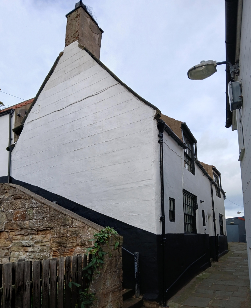
C18. Two storeys. Rendered. Pantile roof with stone kneelers. Plinth to No 18. Centre passage with three plain doors. Two semi-dormers, double-hung sashes with glazing bars, moulded flush frames. One window on ground floor, double hung sash with glazing bars and two smaller windows.
Listing NGR: NZ8981611332
This list entry was subject to a Minor Amendment on 10 June 2026 to correct a typo in the description and reformat the text to current standards
NZ 8911
1/340
THE CRAGG (west side)
Nos 17 and 18
II
C18. Two storeys. Rendered. Pantile roof with stone kneelers. Plinth to No 18. Centre passage with three plain doors. Two semi-dormers, double-hung sashes with glazing bars, moulded flush frames. One window on ground floor, double hung sash with glazing bars and two smaller windows.
Listing NGR: NZ8981611332
External links are from the relevant listing authority and, where applicable, Wikidata. Wikidata IDs may be related buildings as well as this specific building. If you want to add or update a link, you will need to do so by editing the Wikidata entry.


Other nearby listed buildings