Latitude: 54.3206 / 54°19'14"N
Longitude: -2.7486 / 2°44'54"W
OS Eastings: 351406
OS Northings: 491932
OS Grid: SD514919
Mapcode National: GBR 9L7G.RY
Mapcode Global: WH82W.RNCL
Plus Code: 9C6V87C2+7H
Entry Name: Anchorite Well
Listing Date: 30 January 1985
Grade: II
Source: Historic England
Source ID: 1145729
English Heritage Legacy ID: 75346
ID on this website: 101145729
Location: Kirkbarrow, Westmorland and Furness, Cumbria, LA9
County: Westmorland and Furness
District: South Lakeland
Civil Parish: Kendal
Built-Up Area: Kendal
Traditional County: Westmorland
Lieutenancy Area (Ceremonial County): Cumbria
Church of England Parish: Kendal Holy Trinity
Church of England Diocese: Carlisle
Tagged with: Well
SD 59 SW (INSET) KENDAL ANCHORITE FIELDS (West side)
2/6 Anchorite Well II
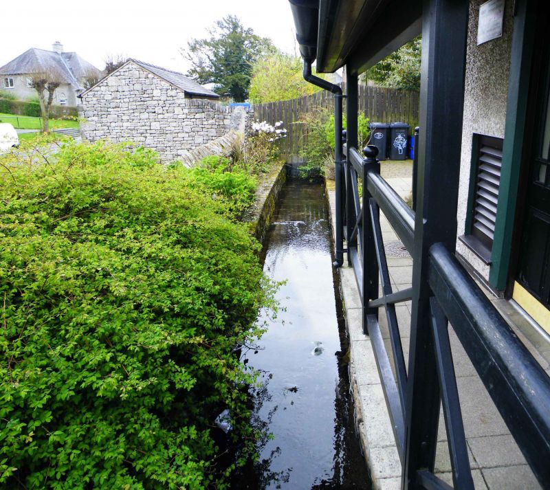
Spring, associated with a medieval hermit. Coursed, squared rubble enclosure wall (c4 ft high on south and west sides) possibly partly medieval. Spring originally 6-7 ft deep; filled up to within 6 ins of surface in late C20.
Listing NGR: SD5140691932
External links are from the relevant listing authority and, where applicable, Wikidata. Wikidata IDs may be related buildings as well as this specific building. If you want to add or update a link, you will need to do so by editing the Wikidata entry.


Other nearby listed buildings