Latitude: 54.4197 / 54°25'10"N
Longitude: -2.5979 / 2°35'52"W
OS Eastings: 361299
OS Northings: 502858
OS Grid: NY612028
Mapcode National: GBR BK9B.CF
Mapcode Global: WH93Q.255M
Plus Code: 9C6VCC92+VR
Entry Name: Lunes Bridge
Listing Date: 21 August 1990
Grade: II
Source: Historic England
Source ID: 1145354
English Heritage Legacy ID: 74204
ID on this website: 101145354
Location: Roundthwaite, Westmorland and Furness, Cumbria, CA10
County: Westmorland and Furness
District: Eden
Civil Parish: Tebay
Built-Up Area: Tebay
Traditional County: Westmorland
Lieutenancy Area (Ceremonial County): Cumbria
Church of England Parish: Orton with Tebay All Saints
Church of England Diocese: Carlisle
Tagged with: Bridge
The following building shall be add:-
TEBAY CP LUNES BRIDGE NY 60 SW
17/190 II
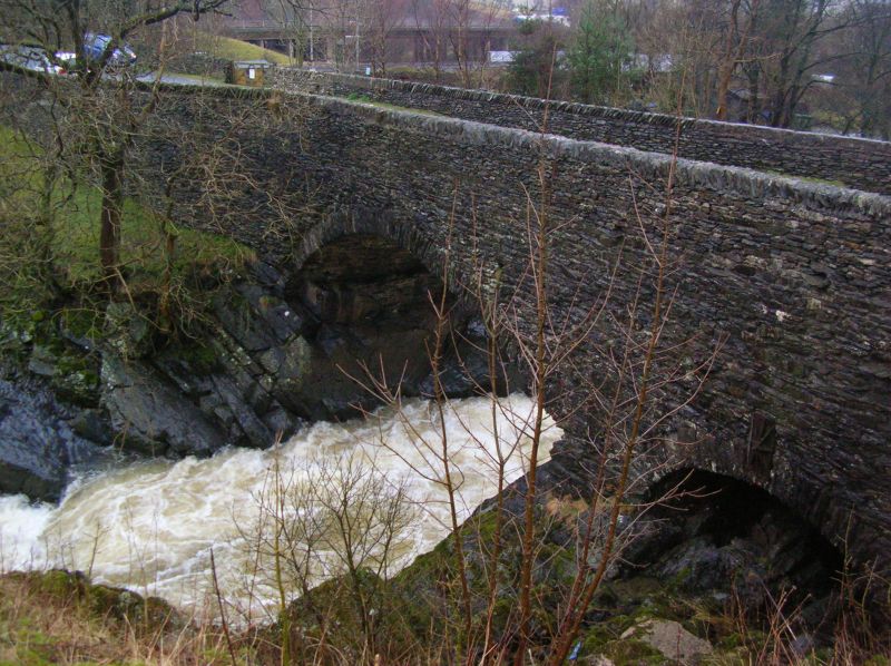
Bridge. Early/mid C19. Roughly coursed limestone rubble. Elliptical main arch with rough voussoirs, segmental smaller flood arch to east end. Parapets with vertically set stones. Iron tie to crown of flood arch. Dramatic situation crossing rock filled river.
Listing NGR: NY6129902858
External links are from the relevant listing authority and, where applicable, Wikidata. Wikidata IDs may be related buildings as well as this specific building. If you want to add or update a link, you will need to do so by editing the Wikidata entry.


Other nearby listed buildings