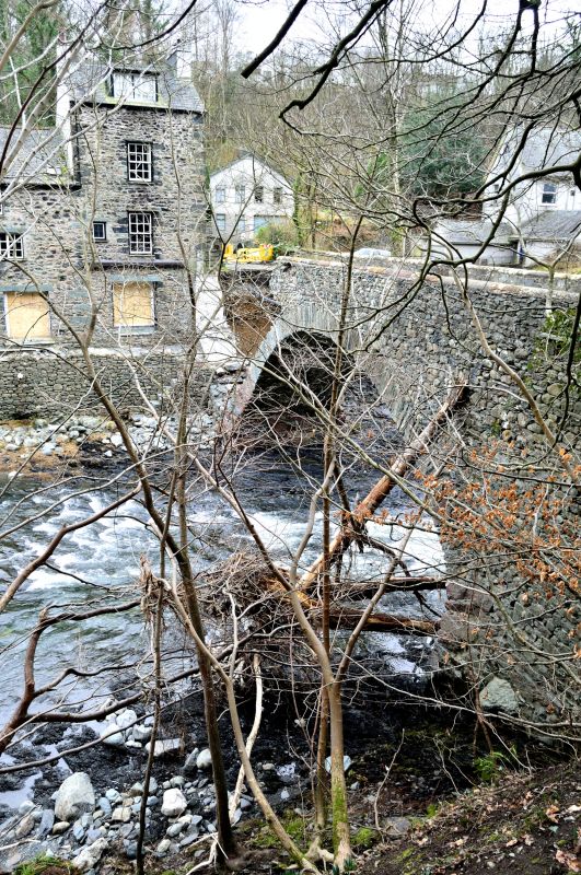
Latitude: 54.6056 / 54°36'20"N
Longitude: -3.1162 / 3°6'58"W
OS Eastings: 327995
OS Northings: 523952
OS Grid: NY279239
Mapcode National: GBR 6HP5.4T
Mapcode Global: WH707.3HCM
Plus Code: 9C6RJV4M+6G
Entry Name: Forge Bridge
Listing Date: 27 May 1977
Grade: II
Source: Historic England
Source ID: 1144702
English Heritage Legacy ID: 71794
ID on this website: 101144702
Location: Brigham, Cumberland, Cumbria, CA12
County: Cumberland
District: Allerdale
Civil Parish: Keswick
Built-Up Area: Keswick
Traditional County: Cumberland
Lieutenancy Area (Ceremonial County): Cumbria
Church of England Parish: Keswick St John
Church of England Diocese: Carlisle
Tagged with: Bridge
KESWICK PENRITH ROAD
1.
5161 Brigham
------------
Forge Bridge
NY 22 SE 2/41
II
2.
1817. Single segmental arch of stone with solid parapet and narrow roadway
about 10 ft wide.
Listing NGR: NY2799523952
External links are from the relevant listing authority and, where applicable, Wikidata. Wikidata IDs may be related buildings as well as this specific building. If you want to add or update a link, you will need to do so by editing the Wikidata entry.


Other nearby listed buildings