Latitude: 50.2064 / 50°12'22"N
Longitude: -5.4941 / 5°29'38"W
OS Eastings: 150781
OS Northings: 39884
OS Grid: SW507398
Mapcode National: GBR DXT4.87L
Mapcode Global: VH12L.Q2CM
Plus Code: 9C2P6G44+H9
Entry Name: Stone Cross
Listing Date: 4 June 1952
Grade: II
Source: Historic England
Source ID: 1143349
English Heritage Legacy ID: 69023
ID on this website: 101143349
Location: Cornwall, TR26
County: Cornwall
Civil Parish: St. Ives
Built-Up Area: St Ives
Traditional County: Cornwall
Lieutenancy Area (Ceremonial County): Cornwall
Church of England Parish: Halsetown
Church of England Diocese: Truro
HIGHER STENNACK
1. PENBEAGLE
1587 ---------------
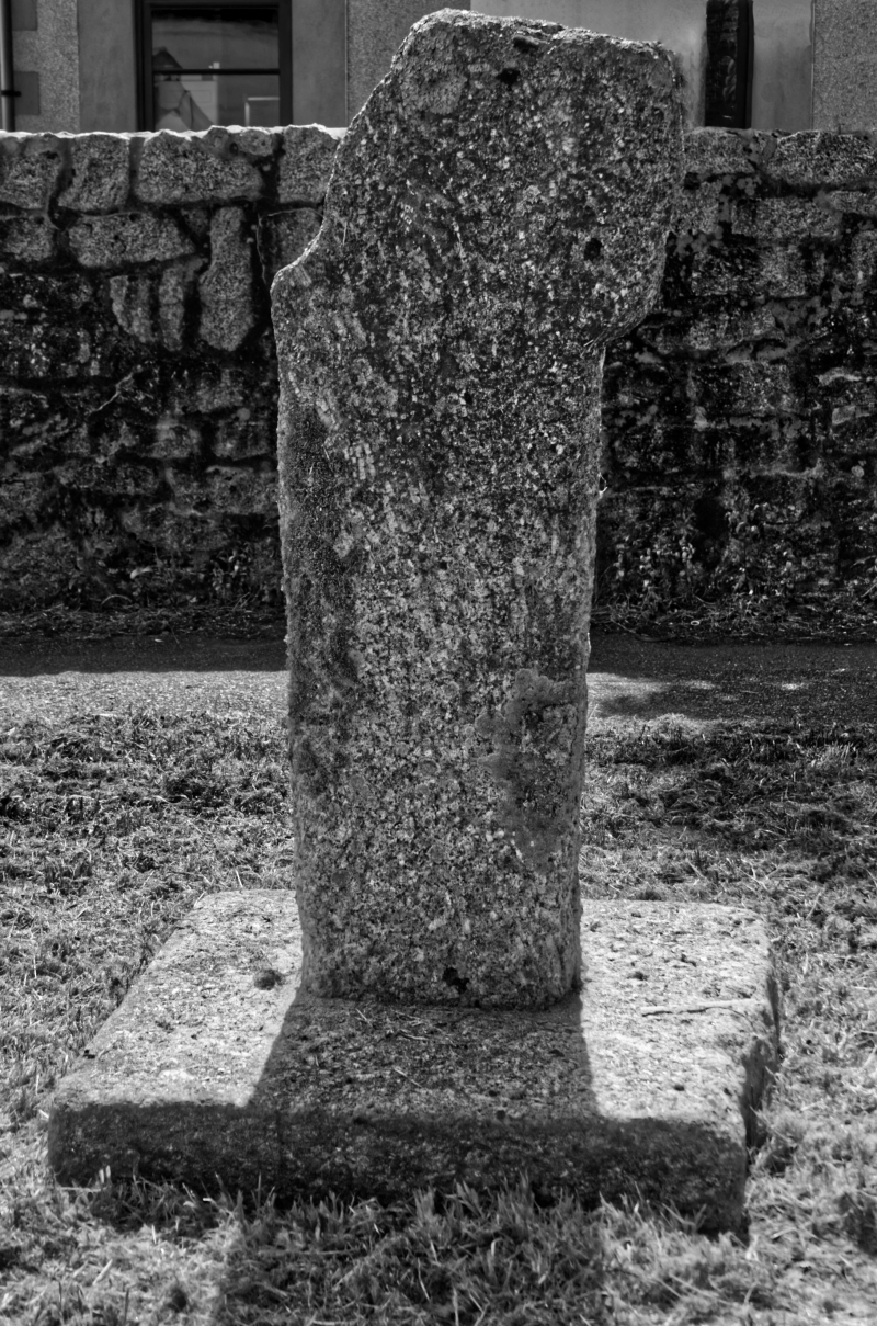
Stone Cross
SW 53 NW 5/274 4.6.52.
II
2.
Mutilated remains of a simple unpierced wheelhead and shaft. One side
of head and edge of shaft broken off. On one face an incised Latin cross
with expanded ends. Granite. Approximately four feet high. AM.
Listing NGR: SW5078139884


Other nearby listed buildings