Latitude: 50.1989 / 50°11'56"N
Longitude: -5.242 / 5°14'31"W
OS Eastings: 168728
OS Northings: 38243
OS Grid: SW687382
Mapcode National: GBR Z3.GL39
Mapcode Global: VH12R.384B
Plus Code: 9C2P5QX5+H6
Entry Name: Pencoys Villa
Listing Date: 12 September 1989
Grade: II
Source: Historic England
Source ID: 1142623
English Heritage Legacy ID: 66690
ID on this website: 101142623
Location: Four Lanes, Cornwall, TR16
County: Cornwall
Civil Parish: Carn Brea
Built-Up Area: Four Lanes
Traditional County: Cornwall
Lieutenancy Area (Ceremonial County): Cornwall
Church of England Parish: Redruth
Church of England Diocese: Truro
Tagged with: Villa
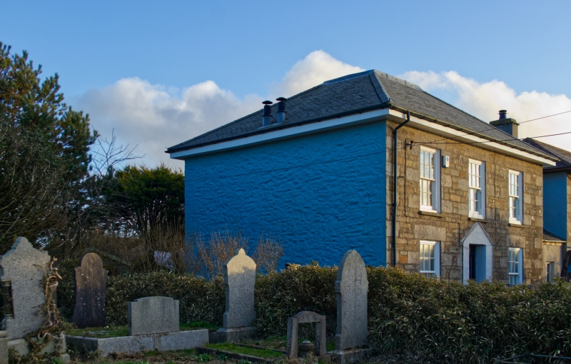
CARN BREA CHURCH ROAD SW63 NE (south side) 8/142 Four Lanes Pencoys Villa II House. Later C19. Squared killas rubble brought to courses, with granite quoins and dressings, slurried slate roof. Rectangular double-depth plan. Two storeys and 3 bays, symmetrical; central doorway protected by 5-sided wooden and glazed porch which has segmental-arched glazing with coloured margin panes to the door and the windows and a glazed roof with apex finial; 12-pane unhorned sashed windows with exposed boxes; hipped roof with projecting eaves, side-wall chimneys. Short single-storey wing added at right-hand end. Rear has inter alia a tall round-headed stairwindow with coloured margin panes. Interior: doglegged staircase with open string and stick balusters.
Listing NGR: SW6872838243
External links are from the relevant listing authority and, where applicable, Wikidata. Wikidata IDs may be related buildings as well as this specific building. If you want to add or update a link, you will need to do so by editing the Wikidata entry.


Other nearby listed buildings