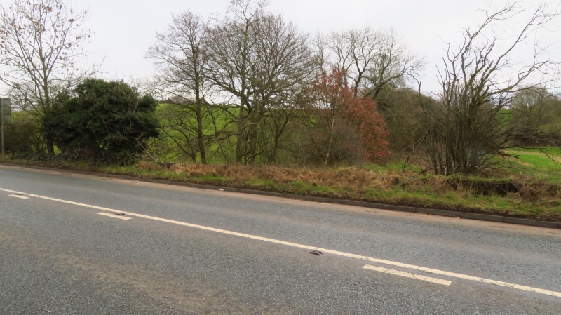
Latitude: 53.2267 / 53°13'36"N
Longitude: -2.1284 / 2°7'42"W
OS Eastings: 391527
OS Northings: 369967
OS Grid: SJ915699
Mapcode National: GBR 11P.NQP
Mapcode Global: WHBBW.85R6
Plus Code: 9C5V6VGC+MM
Entry Name: Mileplate
Listing Date: 25 October 1985
Grade: II
Source: Historic England
Source ID: 1139482
English Heritage Legacy ID: 58654
ID on this website: 101139482
Location: Oakgrove, Cheshire East, Cheshire, SK11
County: Cheshire East
Civil Parish: Sutton
Traditional County: Cheshire
Lieutenancy Area (Ceremonial County): Cheshire
Church of England Parish: Sutton St James
Church of England Diocese: Chester
Tagged with: Milestone
SJ 96 NW SUTTON C.P. LONDON ROAD 9152 6995
6/69 Mileplate
-
- II
Mileplate. Mid C19. Cast iron. Rectangular plate which reads:
FROM LONDON 165. MILES
TO
MACCLESFIELD 2. MILES
Listing NGR: SJ9152769967
External links are from the relevant listing authority and, where applicable, Wikidata. Wikidata IDs may be related buildings as well as this specific building. If you want to add or update a link, you will need to do so by editing the Wikidata entry.


Other nearby listed buildings