Latitude: 51.4045 / 51°24'16"N
Longitude: -2.3234 / 2°19'24"W
OS Eastings: 377597
OS Northings: 167324
OS Grid: ST775673
Mapcode National: GBR 0Q5.TMZ
Mapcode Global: VH96F.PY1P
Plus Code: 9C3VCM3G+QJ
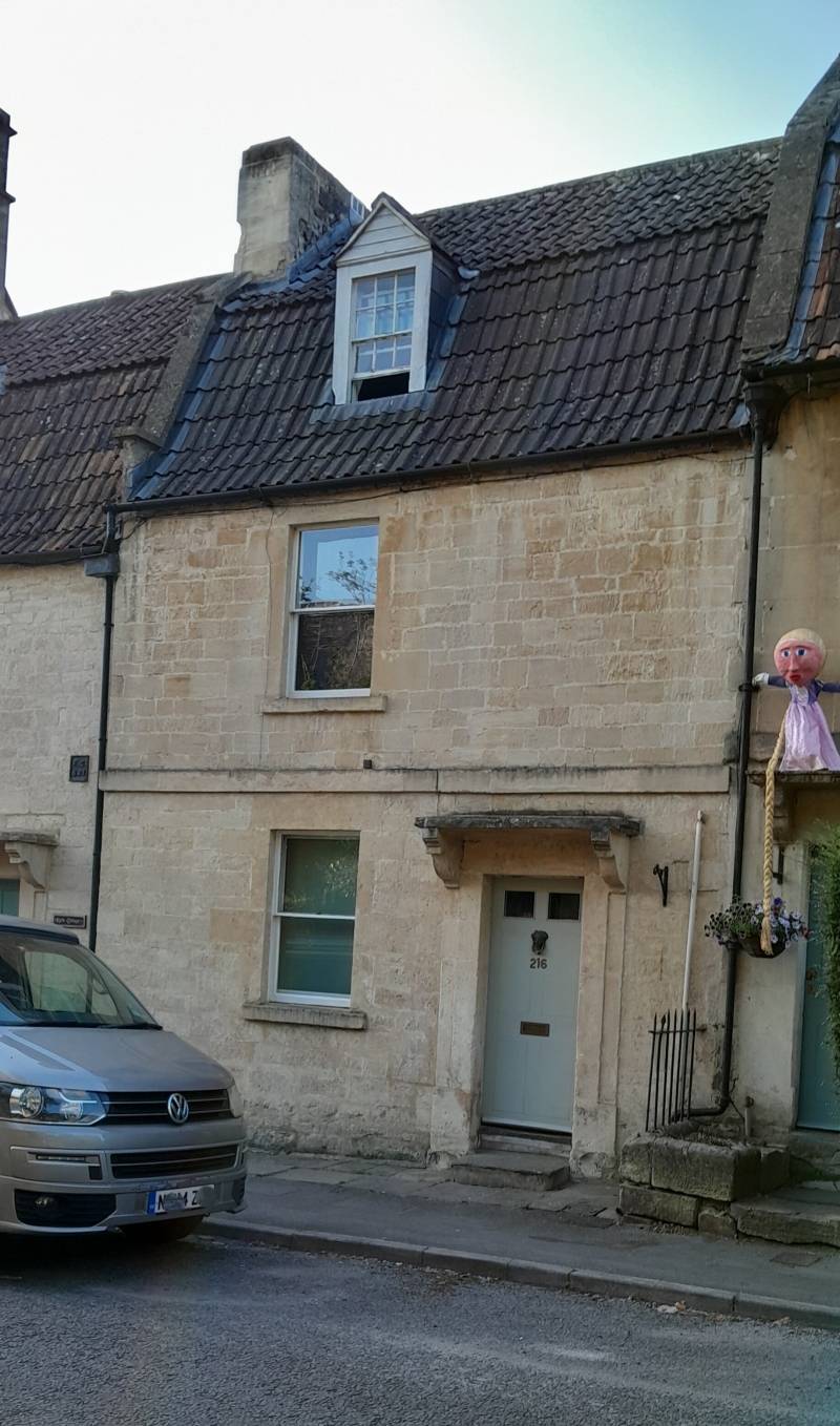
Entry Name: 216, High Street
Listing Date: 19 October 1983
Grade: II
Source: Historic England
Source ID: 1137427
English Heritage Legacy ID: 32080
ID on this website: 101137427
Location: Batheaston, Bath and North East Somerset, Somerset, BA1
County: Bath and North East Somerset
Civil Parish: Batheaston
Built-Up Area: Bath
Traditional County: Somerset
Lieutenancy Area (Ceremonial County): Somerset
Tagged with: Building
ST 7767 BATHEASTON C.P. HIGH STREET (South-east side) 7/37 No 216 G.V. II
House. Mid-late C18th. Coursed, squared rubble; Cotswold stone slate and double Roman tiled mansard roof with coped raised verge. 2 storeys and attic in hipped dormer. 1 large pane sash window. Plat band. 6 panel door to right under flat stone hood on carved brackets.
Listing NGR: ST7759767324
External links are from the relevant listing authority and, where applicable, Wikidata. Wikidata IDs may be related buildings as well as this specific building. If you want to add or update a link, you will need to do so by editing the Wikidata entry.


Other nearby listed buildings