Latitude: 54.6018 / 54°36'6"N
Longitude: -3.1395 / 3°8'22"W
OS Eastings: 326484
OS Northings: 523553
OS Grid: NY264235
Mapcode National: GBR 6HJ7.35
Mapcode Global: WH706.RL6K
Plus Code: 9C6RJV26+P5
Entry Name: Heads House
Listing Date: 27 May 1977
Grade: II
Source: Historic England
Source ID: 1137380
English Heritage Legacy ID: 71784
ID on this website: 101137380
Location: Keswick, Cumberland, Cumbria, CA12
County: Cumberland
District: Allerdale
Civil Parish: Keswick
Built-Up Area: Keswick
Traditional County: Cumberland
Lieutenancy Area (Ceremonial County): Cumbria
Church of England Parish: Crosthwaite St Kentigern
Church of England Diocese: Carlisle
Tagged with: House
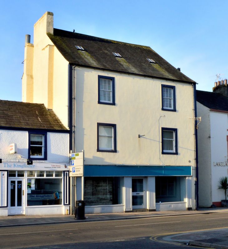
KESWICK MAIN STREET 1. 5161 (West Side) ----------- Heads House NY 2623 1/26 II
2. Late C18, roughcast, 3 tall storeys, dormers, moulded stone cornice, quoins. Double shop front with 2 sash windows each upper storey in stone architraves (top floor windows 12-paned). Rear has a round-arched staircase window.
Listing NGR: NY2648423553
External links are from the relevant listing authority and, where applicable, Wikidata. Wikidata IDs may be related buildings as well as this specific building. If you want to add or update a link, you will need to do so by editing the Wikidata entry.


Other nearby listed buildings