Latitude: 52.0065 / 52°0'23"N
Longitude: -0.3625 / 0°21'45"W
OS Eastings: 512493
OS Northings: 235494
OS Grid: TL124354
Mapcode National: GBR H55.55B
Mapcode Global: VHFQW.NTQP
Plus Code: 9C4X2J4P+HX
Entry Name: Shillington Bury
Listing Date: 6 June 1975
Grade: II
Source: Historic England
Source ID: 1137006
English Heritage Legacy ID: 37863
ID on this website: 101137006
Location: Bury End, Central Bedfordshire, SG5
County: Central Bedfordshire
Civil Parish: Shillington
Traditional County: Bedfordshire
Lieutenancy Area (Ceremonial County): Bedfordshire
Church of England Parish: Shillington and Gravenhurst
Church of England Diocese: St.Albans
Tagged with: Architectural structure
TL 13 NW SHILLINGTON & BURY END STONDON 3/74 6.6.75 Shillington Bury II
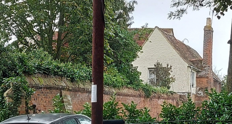
House, now divided into 3 dwellings. C16 origins, reworked C19. Timber framed construction with roughcast render, ground floor rebuilt in brick, the whole colourwashed. Clay tile roofs. 2 storeyed H-plan with various additions to rear. W elevation: each cross-wing has one window per floor, central block has 2 windows per floor, all sashes. Central gabled brick porch has glazed door surmounted by semi-circular fanlight. LH cross-wing has integral chimney stack to side wall. RH cross-wing side wall has substantial external chimney stack of red brick with some coursed rubble. Small C20 flat roof addition to LH gable.
Listing NGR: TL1249335494
External links are from the relevant listing authority and, where applicable, Wikidata. Wikidata IDs may be related buildings as well as this specific building. If you want to add or update a link, you will need to do so by editing the Wikidata entry.


Other nearby listed buildings