Latitude: 51.4399 / 51°26'23"N
Longitude: -2.844 / 2°50'38"W
OS Eastings: 341430
OS Northings: 171546
OS Grid: ST414715
Mapcode National: GBR JD.NFBN
Mapcode Global: VH7C7.N2BJ
Plus Code: 9C3VC5Q4+W9
Entry Name: The Wilderness
Listing Date: 22 January 1976
Grade: II
Source: Historic England
Source ID: 1136377
English Heritage Legacy ID: 33073
ID on this website: 101136377
Location: East Clevedon, North Somerset, BS21
County: North Somerset
Civil Parish: Clevedon
Built-Up Area: Clevedon
Traditional County: Somerset
Lieutenancy Area (Ceremonial County): Somerset
Tagged with: Architectural structure
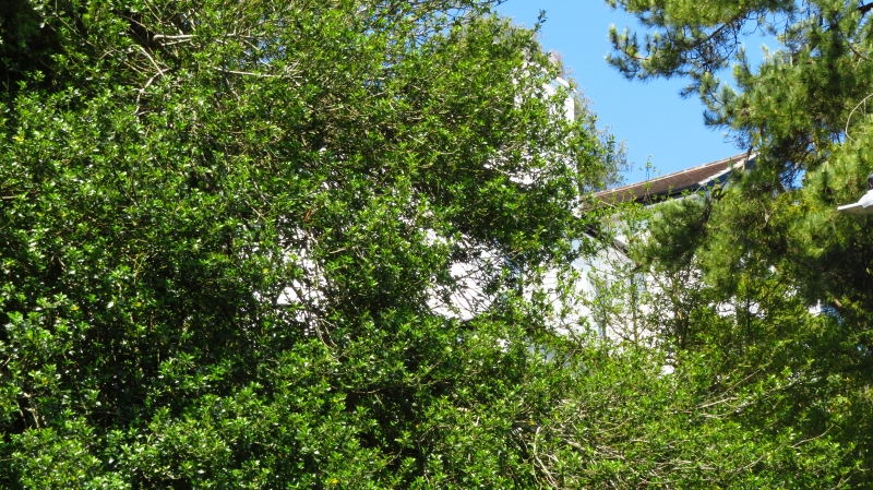
HIGHDALE ROAD 5121 (North Side) ST 4171 1/66 No 33 (The Wilderness) II 2. Formerly known as Woodborough Lodge. Large mid C19 house prominently sited on nillside overlooking Clevedon Bay. 2 storeys with gabled range of 2 storeys plus attic coming forward on right. Rendered and whitewashed. Plain pilaster treatment. Projecting eaves. 3 windows, mostly original sashes with glazing bars. Trellised wooden verandah surrounding ground floor, with pierced anthemion motif.
Listing NGR: ST4143071546
External links are from the relevant listing authority and, where applicable, Wikidata. Wikidata IDs may be related buildings as well as this specific building. If you want to add or update a link, you will need to do so by editing the Wikidata entry.


Other nearby listed buildings