Latitude: 54.0464 / 54°2'46"N
Longitude: -1.9515 / 1°57'5"W
OS Eastings: 403275
OS Northings: 461157
OS Grid: SE032611
Mapcode National: GBR GPTN.97
Mapcode Global: WHB6X.0K0B
Plus Code: 9C6W22WX+GC
Entry Name: Burnsall Bridge
Listing Date: 10 September 1954
Grade: II
Source: Historic England
Source ID: 1131738
English Heritage Legacy ID: 323740
ID on this website: 101131738
Location: Burnsall, North Yorkshire, BD23
County: North Yorkshire
District: Craven
Civil Parish: Burnsall
Traditional County: Yorkshire
Lieutenancy Area (Ceremonial County): North Yorkshire
Tagged with: Bridge Road bridge
This list entry was subjected to a Minor Enhancement on 26 February 2024 to add Historical note and reformat the text to current standards
SE 06 SW
2/84
BURNSALL
B 6160
Burnsall Bridge
10.9.54
GV
II
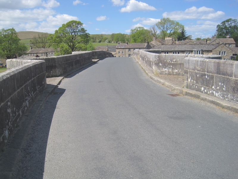
Bridge. C17 with C19 restoration. Ashlar. Three large segmental arches with a smaller one to each side, with voussoirs. Triangular section, cutwaters rise into pedestrian retreats. To each end a pilaster. Band. Parapet. Half the bridge is in the parish of Hartlington.
HISTORICAL NOTE: The adjacent bridge house (National Heritage List for England entry 1301183) has a county bridge marker against its boundary wall, indicating that the county of the West Riding of Yorkshire was responsible for the upkeep of the bridge and its approach road.
Listing NGR: SE0327861152
External links are from the relevant listing authority and, where applicable, Wikidata. Wikidata IDs may be related buildings as well as this specific building. If you want to add or update a link, you will need to do so by editing the Wikidata entry.


Other nearby listed buildings