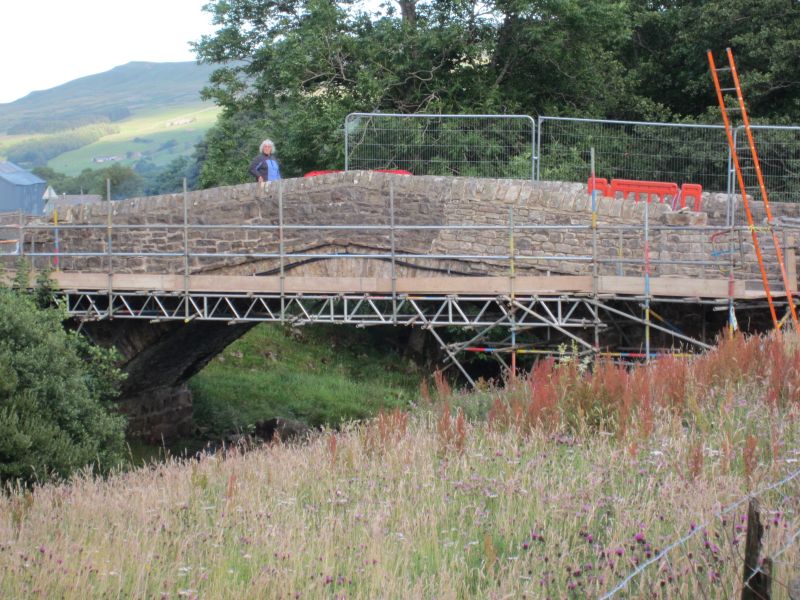
Latitude: 54.3769 / 54°22'36"N
Longitude: -2.1547 / 2°9'16"W
OS Eastings: 390048
OS Northings: 497947
OS Grid: SD900979
Mapcode National: GBR FKDT.9R
Mapcode Global: WHB57.W74X
Plus Code: 9C6V9RGW+Q4
Entry Name: Long Close Bridge
Listing Date: 5 September 1986
Grade: II
Source: Historic England
Source ID: 1131559
English Heritage Legacy ID: 322205
ID on this website: 101131559
Location: Thwaite, North Yorkshire, DL11
County: North Yorkshire
District: Richmondshire
Civil Parish: Muker
Traditional County: Yorkshire
Lieutenancy Area (Ceremonial County): North Yorkshire
Tagged with: Bridge Road bridge
SD 99 NW
14/120
MUKER
B6270, Scar Houses
Long Close Bridge
II
Bridge. Late C18. Rubble. Segmental arch of rubble voussoirs. Rubble
dripmould on downstream side. Triangular coping to parapet.
Listing NGR: SD9004897947
External links are from the relevant listing authority and, where applicable, Wikidata. Wikidata IDs may be related buildings as well as this specific building. If you want to add or update a link, you will need to do so by editing the Wikidata entry.


Other nearby listed buildings