Latitude: 54.2805 / 54°16'49"N
Longitude: -1.7785 / 1°46'42"W
OS Eastings: 414519
OS Northings: 487226
OS Grid: SE145872
Mapcode National: GBR JL0Y.RB
Mapcode Global: WHC6Y.NN9W
Plus Code: 9C6W76JC+5J
Entry Name: Ulshaw Bridge
Listing Date: 15 February 1967
Grade: II
Source: Historic England
Source ID: 1130927
English Heritage Legacy ID: 321742
ID on this website: 101130927
Location: Ulshaw, North Yorkshire, DL8
County: North Yorkshire
District: Richmondshire
Civil Parish: Thornton Steward
Traditional County: Yorkshire
Lieutenancy Area (Ceremonial County): North Yorkshire
SE 18 NW THORNTON STEWARD ULSHAW
3/133 Ulshaw Bridge
(Formerly listed under General
15.2.67 in the CIVIL PARISH OF EAST
- II WITTON WITHIN)
Bridge. Dated 1674. Ashlar and rubble. 4 segmental arches of 2 orders,
one chamfered, with large triangular cutwaters between. Rusticated rubble
parapets. Cutwaters form refuges with stone seats at top, except for outer
2 on downstream side which have been reduced in size. In central refuge on
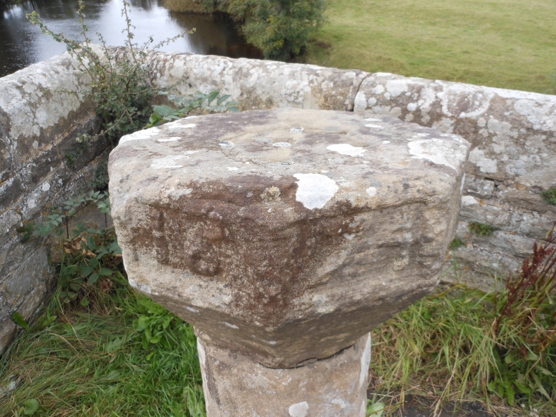
upstream side, an octagonal sundial base inscribed 'R W 1674'. Scheduled as
an Ancient Monument.
Listing NGR: SE1451987226


Other nearby listed buildings