Latitude: 51.5798 / 51°34'47"N
Longitude: -2.5775 / 2°34'39"W
OS Eastings: 360078
OS Northings: 186930
OS Grid: ST600869
Mapcode National: GBR JR.CNCL
Mapcode Global: VH882.8KQ8
Plus Code: 9C3VHCHC+WX
Entry Name: The Nook
Listing Date: 5 December 1984
Grade: II
Source: Historic England
Source ID: 1128933
English Heritage Legacy ID: 35292
ID on this website: 101128933
Location: Olveston, South Gloucestershire, BS35
County: South Gloucestershire
Civil Parish: Olveston
Built-Up Area: Olveston
Traditional County: Gloucestershire
Lieutenancy Area (Ceremonial County): Gloucestershire
Church of England Parish: Olveston
Church of England Diocese: Bristol
Tagged with: Architectural structure
ST 68 NW OLVESTON THE GREEN (east side) Olverston
8/183 The Nook 21.10.52 G.V. II
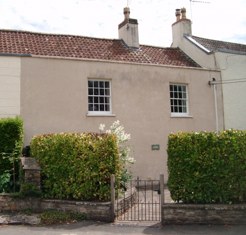
House in a village street. C18. Rubble, rendered, pantiled roof with central stack and stone ridge. 2 storeys and 2 windows, all 16-pane sashes except ground right of 4 panes, panelled and glass door with cambered head in 2nd bay from right, parapet and coping. Interior: not accessible.
Listing NGR: ST6007886930
External links are from the relevant listing authority and, where applicable, Wikidata. Wikidata IDs may be related buildings as well as this specific building. If you want to add or update a link, you will need to do so by editing the Wikidata entry.


Other nearby listed buildings