Latitude: 52.3541 / 52°21'14"N
Longitude: 0.0069 / 0°0'24"E
OS Eastings: 536776
OS Northings: 274783
OS Grid: TL367747
Mapcode National: GBR K42.GJG
Mapcode Global: VHHJG.23H6
Plus Code: 9F429234+JP
Entry Name: Barograph Memorial
Listing Date: 4 November 1982
Grade: II
Source: Historic England
Source ID: 1128553
English Heritage Legacy ID: 53759
ID on this website: 101128553
Location: Bluntisham, Huntingdonshire, Cambridgeshire, PE28
County: Cambridgeshire
District: Huntingdonshire
Civil Parish: Bluntisham
Built-Up Area: Bluntisham
Traditional County: Huntingdonshire
Lieutenancy Area (Ceremonial County): Cambridgeshire
Church of England Parish: Bluntisham cum Earith St Mary
Church of England Diocese: Ely
Tagged with: Memorial
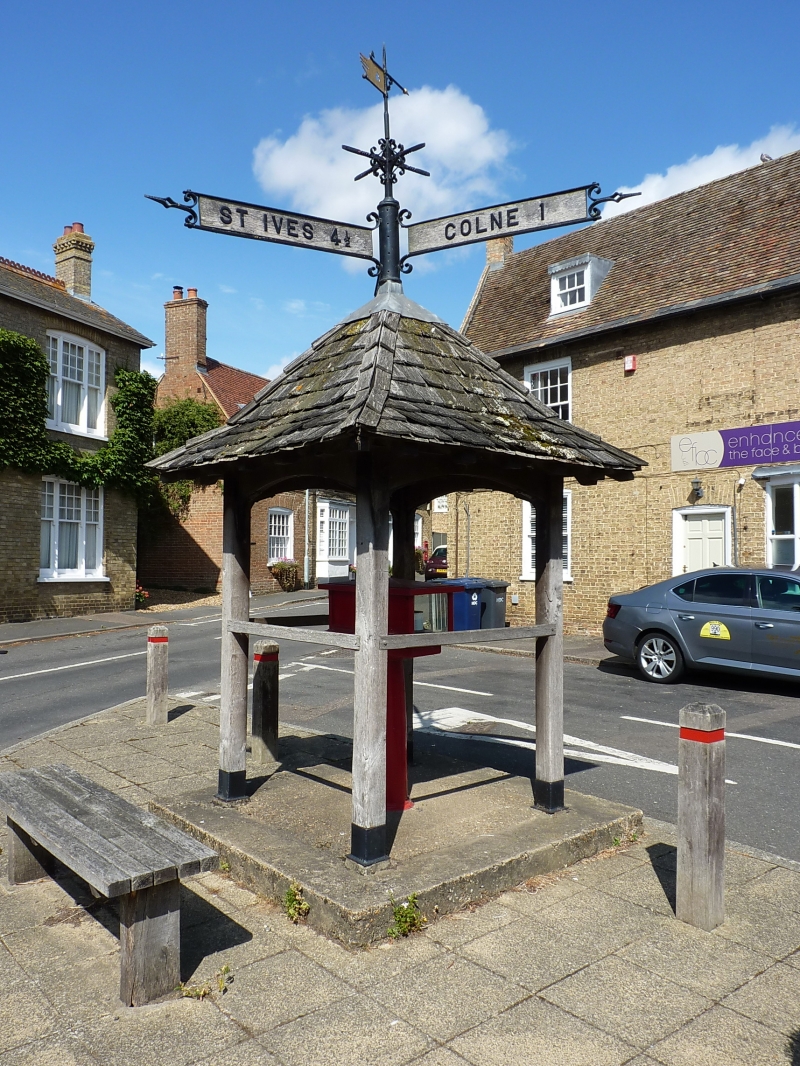
BLUNTISHAM HIGH STREET 1. 5140 Barograph Memorial TL 36 74 17/12 II GV 2. At junction with East Street, open shelter. Inscription: 'Erected in Memory of Charles Prentice and Mary Goodman Tebbutt by their son Louis 1911'. Four oak posts support oak shingled pyramidal roof. Wrought Iron weather vane surmounts a road sign-post at roof apex.
Listing NGR: TL3677674783
External links are from the relevant listing authority and, where applicable, Wikidata. Wikidata IDs may be related buildings as well as this specific building. If you want to add or update a link, you will need to do so by editing the Wikidata entry.


Other nearby listed buildings