Latitude: 52.5793 / 52°34'45"N
Longitude: -0.415 / 0°24'53"W
OS Eastings: 507499
OS Northings: 299118
OS Grid: TL074991
Mapcode National: GBR FWT.9WX
Mapcode Global: WHGMB.LFLJ
Plus Code: 9C4XHHHP+P2
Entry Name: Wansford Bridge
Listing Date: 24 February 1982
Grade: I
Source: Historic England
Source ID: 1127445
English Heritage Legacy ID: 50477
ID on this website: 101127445
Location: Wansford, Peterborough, Cambridgeshire, PE8
County: City of Peterborough
Civil Parish: Wansford
Traditional County: Huntingdonshire
Lieutenancy Area (Ceremonial County): Cambridgeshire
Church of England Parish: Thornhaugh and Wansford
Church of England Diocese: Peterborough
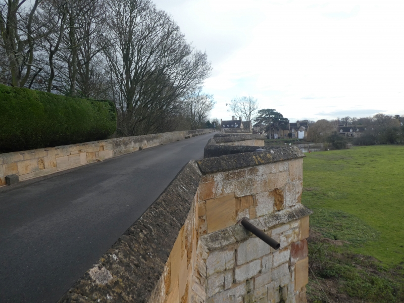
1. 5141 WANSFORD BRIDGE END Wansford Bridge TL 0799 45/682 I GV 2. On the common boundary of the Parishes of Sibson Cum Stibbington (in the District of Huntingdon) and Wansford (in the City of Peterborough). It was listed as Wansford Bridge (that part in the Norman Cross Rural District) under Wansford under the Parish of Sibson Cum Stibbington on 25 September 1951. Built from 1577. Fine ashlar bridge over River Nene. Total of 12 arches. The south end rebuilt in 1795 has small round arch and wide elliptical rusticated arch with date in oval panel above keyblock. The next 3 arches are of 1672 to 4, and the remainder 1577 (dated in parapet with initials P.If.). The ten C16 and C17 bays have round arches, the C16 arches are stepped, cutwaters between rising to refuges in the parapet which has ramped coping and stringcourse. The arches at the north end are silted up. VCH Northamptonshire Vol II.
Listing NGR: TL0749999118


Other nearby listed buildings