Latitude: 52.2729 / 52°16'22"N
Longitude: 0.3293 / 0°19'45"E
OS Eastings: 559024
OS Northings: 266413
OS Grid: TL590664
Mapcode National: GBR N9G.D2P
Mapcode Global: VHHK0.N4GG
Plus Code: 9F4278FH+4P
Entry Name: Stevens Mill
Listing Date: 1 December 1951
Last Amended: 31 January 1984
Grade: II*
Source: Historic England
Source ID: 1126407
English Heritage Legacy ID: 48963
ID on this website: 101126407
Location: Burwell, East Cambridgeshire, CB25
County: Cambridgeshire
District: East Cambridgeshire
Civil Parish: Burwell
Built-Up Area: Burwell
Traditional County: Cambridgeshire
Lieutenancy Area (Ceremonial County): Cambridgeshire
Church of England Parish: Burwell with Reach
Church of England Diocese: Ely
Tagged with: Mill
TL 5866 TL 5966 BURWELL MILL LANE (East Side)
15/36 16/36 Steven's Mill 1.12.51 (formerly listed as Windmill
II*
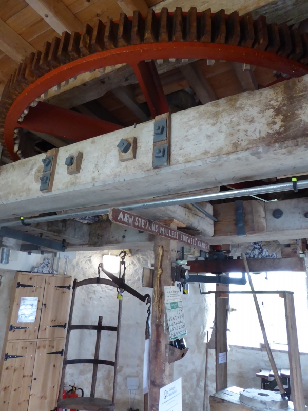
Tower mill, early C19. Clunch, plastered and tarred. Domed cap with finial. One sailstock of original four, and shafts for fantail and gearing. Under restoration. Four storeys. Contemporary wooden and iron machinery. Three pairs of stones on first floor, second floor contains bins. Two entrances with boarded doors at ground floor, replacement casement windows at each floor level.
RCHM, North-East Cambs, p.40, mon. 103 Vince J. Discovering Windmills, p.52, 1977 Brook C. Measured Drawings. Burwell Windmill Trust, 1977 Pevsner. Buildings of England, p.313 Alderton and Booker. Batsford Guide to Ind. Arch. of E. Anglia, 1980
Listing NGR: TL5902466413
External links are from the relevant listing authority and, where applicable, Wikidata. Wikidata IDs may be related buildings as well as this specific building. If you want to add or update a link, you will need to do so by editing the Wikidata entry.


Other nearby listed buildings