Latitude: 51.6488 / 51°38'55"N
Longitude: -0.9263 / 0°55'34"W
OS Eastings: 474385
OS Northings: 194989
OS Grid: SU743949
Mapcode National: GBR C3D.DNT
Mapcode Global: VHDVV.WTPD
Plus Code: 9C3XJ3XF+GF
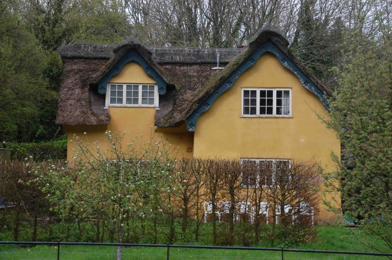
Entry Name: Thatched Cottage
Listing Date: 4 July 1985
Last Amended: 20 February 1986
Grade: II
Source: Historic England
Source ID: 1125731
English Heritage Legacy ID: 46646
ID on this website: 101125731
Location: Buckinghamshire, HP14
County: Buckinghamshire
Civil Parish: Stokenchurch
Traditional County: Oxfordshire
Lieutenancy Area (Ceremonial County): Buckinghamshire
Church of England Parish: Lewknor
Church of England Diocese: Oxford
Tagged with: Cottage Thatched cottage
SU 79 SW
5/167
WORMSLEY
Wellground Cottage
II
The address shall be amended to read:
WORMSLEY
THATCHED COTTAGE
------------------------------------
SU 79 SW
5/157
STOKENCHURCH
WORMSLEY
Wellground Cottage
II
Cottage .Late C18-early C19. Colourwashed render over chalk cob, C20 tile roof.
One storey, 2 bays. Paired barred wooden casements, central doorway with catslide
porch. Catslide shelter to rear.
Listing NGR: SU7438594989
External links are from the relevant listing authority and, where applicable, Wikidata. Wikidata IDs may be related buildings as well as this specific building. If you want to add or update a link, you will need to do so by editing the Wikidata entry.


Other nearby listed buildings