Latitude: 54.9014 / 54°54'4"N
Longitude: -2.8357 / 2°50'8"W
OS Eastings: 346504
OS Northings: 556615
OS Grid: NY465566
Mapcode National: GBR 8CMR.VS
Mapcode Global: WH804.D2WC
Plus Code: 9C6VW527+HP
Entry Name: Tithe Barn Farmhouse
Listing Date: 1 April 1957
Grade: II
Source: Historic England
Source ID: 1123723
English Heritage Legacy ID: 77740
ID on this website: 101123723
Location: Warwick-on-Eden, Cumberland, Cumbria, CA4
County: Cumberland
District: Carlisle
Civil Parish: Wetheral
Traditional County: Cumberland
Lieutenancy Area (Ceremonial County): Cumbria
Church of England Parish: Warwick St Leonard
Church of England Diocese: Carlisle
Tagged with: Farmhouse Tithe barn
WETHERAL A69, WARWICK NY 45 NE (North Side)
6/158 Tithe Barn Farmhouse 1. 4.57. II
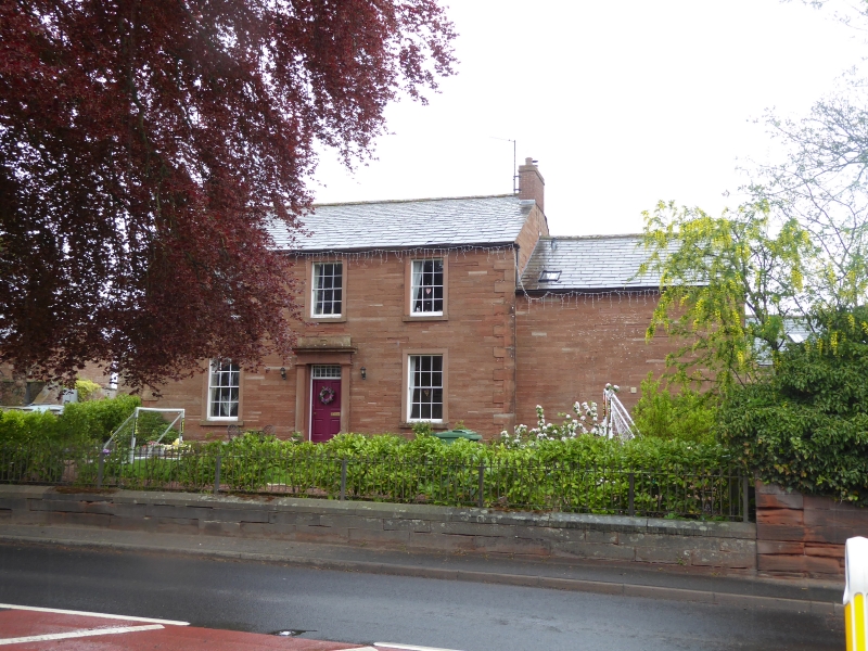
Farmhouse. 1830's. Dressed red sandstone, graduated slate roof, C20 brick chimney stacks. 2 storeys, 3 bays. Entrance has pilaster strips, plain entablature and moulded cornice, 4-panel door with glazed fanlight. Sash windows with glazing bars and plain surrounds.
Listing NGR: NY4650456615
External links are from the relevant listing authority and, where applicable, Wikidata. Wikidata IDs may be related buildings as well as this specific building. If you want to add or update a link, you will need to do so by editing the Wikidata entry.


Other nearby listed buildings