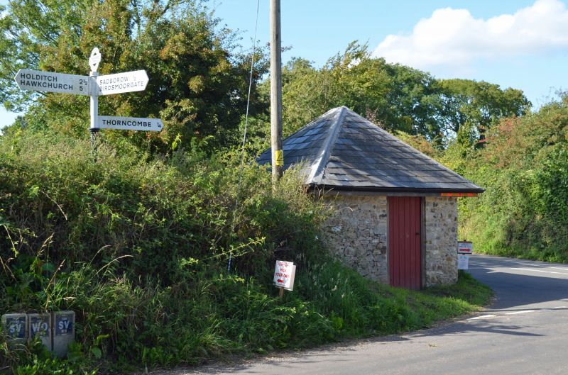
Latitude: 50.8224 / 50°49'20"N
Longitude: -2.8923 / 2°53'32"W
OS Eastings: 337240
OS Northings: 102924
OS Grid: ST372029
Mapcode National: GBR MB.XF1R
Mapcode Global: FRA 46TX.R09
Plus Code: 9C2VR4C5+X3
Entry Name: Turnpike Cottage
Listing Date: 15 August 1975
Grade: II
Source: Historic England
Source ID: 1118920
English Heritage Legacy ID: 104634
ID on this website: 101118920
Location: Thorncombe, Dorset, TA20
County: Dorset
Civil Parish: Thorncombe
Traditional County: Dorset
Lieutenancy Area (Ceremonial County): Dorset
Tagged with: Cottage
ST 3703 THORNCOMBE HIGH STREET, SOUTH SIDE Turnpike Cottage 3/112 15.8.75 II Cottage. C18, much rebuilt C20. Rubble walls. Stone slate roof with stone gable coping. C20 brick stack at gable. One storey and attic; attic window in gable-end. Three-window range with renewed cills and renewed wooden casements. Interior: collar-beam trusses. Shallow-chamfered and stopped tie-beam. Remains of plank partition. C18 brick fireplace.
Listing NGR: ST3724002924
External links are from the relevant listing authority and, where applicable, Wikidata. Wikidata IDs may be related buildings as well as this specific building. If you want to add or update a link, you will need to do so by editing the Wikidata entry.


Other nearby listed buildings