Latitude: 51.4968 / 51°29'48"N
Longitude: -2.4766 / 2°28'35"W
OS Eastings: 367011
OS Northings: 177648
OS Grid: ST670776
Mapcode National: GBR JW.JXC6
Mapcode Global: VH88J.1M2X
Plus Code: 9C3VFGWF+P9
Entry Name: Newlands
Listing Date: 15 July 1981
Grade: II
Source: Historic England
Source ID: 1116169
English Heritage Legacy ID: 28745
ID on this website: 101116169
Location: Blackhorse, South Gloucestershire, BS16
County: South Gloucestershire
Civil Parish: Emersons Green
Built-Up Area: Bristol
Traditional County: Gloucestershire
Lieutenancy Area (Ceremonial County): Gloucestershire
Church of England Parish: Mangotsfield
Church of England Diocese: Bristol
Tagged with: Building
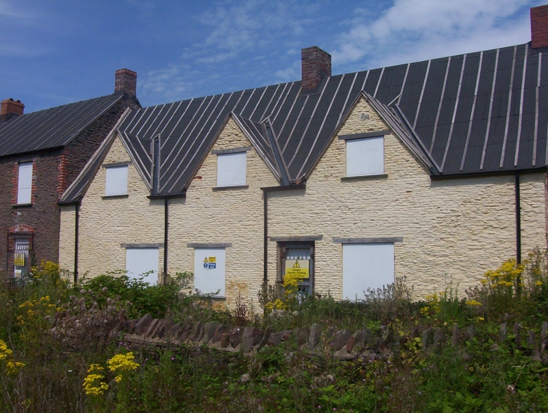
1. 5118 MANGOTSFIELD RURAL DIBDEN LANE Newlands ST 67 NE 2/177 II 2. Centre portion late C17: one and a half storeys, rendered with pantile roof and 2 brick chimneys. Three attic gables. Three windows, all C19 casements. Ledged door off-centre right. Large outbuilding to right and later C19 2 storey farmhouse to left not of special interest.
Listing NGR: ST6701177648
External links are from the relevant listing authority and, where applicable, Wikidata. Wikidata IDs may be related buildings as well as this specific building. If you want to add or update a link, you will need to do so by editing the Wikidata entry.


Other nearby listed buildings