Latitude: 51.9546 / 51°57'16"N
Longitude: 0.342 / 0°20'31"E
OS Eastings: 561034
OS Northings: 231049
OS Grid: TL610310
Mapcode National: GBR NFB.H8Y
Mapcode Global: VHHLK.W45F
Plus Code: 9F32X83R+RR
Entry Name: 24, Watling Street
Listing Date: 20 February 1967
Grade: II
Source: Historic England
Source ID: 1112911
English Heritage Legacy ID: 122452
ID on this website: 101112911
Location: Thaxted, Uttlesford, Essex, CM6
County: Essex
District: Uttlesford
Civil Parish: Thaxted
Built-Up Area: Thaxted
Traditional County: Essex
Lieutenancy Area (Ceremonial County): Essex
Tagged with: Building
1. THAXTED WATLING STREET (North Side) No. 24 TL 63SW: 5/159 20.2.67 GV II
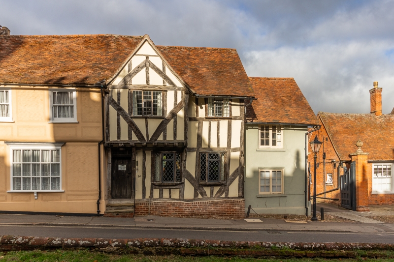
2. C15 house with gabled and jettied cross-wing at west end. Timber framed and plastered, with framing exposed externally, and red plain tile roof. 2 storeys. 3 window range. Modern leaded casements, some in original openings.
Listing NGR: TL6103431053
External links are from the relevant listing authority and, where applicable, Wikidata. Wikidata IDs may be related buildings as well as this specific building. If you want to add or update a link, you will need to do so by editing the Wikidata entry.


Other nearby listed buildings