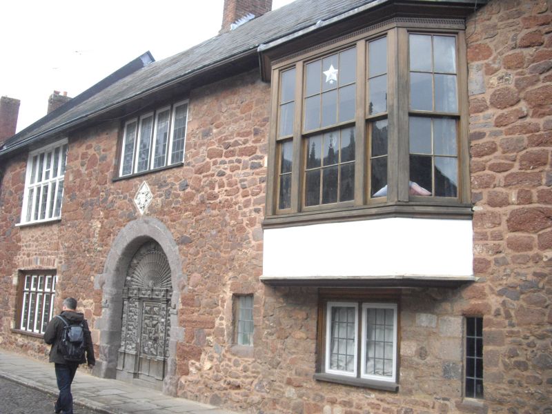
Latitude: 50.7229 / 50°43'22"N
Longitude: -3.5286 / 3°31'43"W
OS Eastings: 292194
OS Northings: 92585
OS Grid: SX921925
Mapcode National: GBR P1.8SNH
Mapcode Global: FRA 37H5.H3N
Plus Code: 9C2RPFFC+4G
Entry Name: 11, Cathedral Close
Listing Date: 29 January 1953
Grade: II
Source: Historic England
Source ID: 1104064
English Heritage Legacy ID: 88922
ID on this website: 101104064
Location: Exeter, Devon, EX1
County: Devon
District: Exeter
Electoral Ward/Division: St David's
Parish: Non Civil Parish
Built-Up Area: Exeter
Traditional County: Devon
Lieutenancy Area (Ceremonial County): Devon
Church of England Parish: Exeter Cathedral
Church of England Diocese: Exeter
Tagged with: Building
CATHEDRAL CLOSE 1. 1092 No 11 SX 9292 NW 3/106 29.1.55 II GV 2. Frontage of Heavitree stone rubble, description included under No l0. Entrance from the courtyard. Very badly damaged and much rebuilt. Some ancient features retained internally. All the listed buildings in Cathedral Close form a group.
Listing NGR: SX9219692587
External links are from the relevant listing authority and, where applicable, Wikidata. Wikidata IDs may be related buildings as well as this specific building. If you want to add or update a link, you will need to do so by editing the Wikidata entry.


Other nearby listed buildings