Latitude: 53.6829 / 53°40'58"N
Longitude: -0.8551 / 0°51'18"W
OS Eastings: 475716
OS Northings: 421322
OS Grid: SE757213
Mapcode National: GBR QTGV.PJ
Mapcode Global: WHFDK.VP0H
Plus Code: 9C5XM4MV+5X
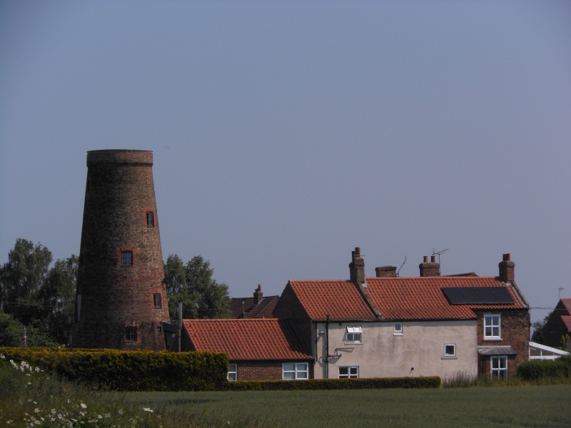
Entry Name: Goole Mill Windmill Tower Approximately 30 Metres East of Mill House
Listing Date: 16 December 1986
Grade: II
Source: Historic England
Source ID: 1103309
English Heritage Legacy ID: 164866
ID on this website: 101103309
Location: East Riding of Yorkshire, DN14
County: East Riding of Yorkshire
Civil Parish: Goole Fields
Traditional County: Yorkshire
Lieutenancy Area (Ceremonial County): East Riding of Yorkshire
Church of England Parish: Goole St John the Evangelist
Church of England Diocese: Sheffield
Tagged with: Building
GOOLE FIELDS SWINEFLEET ROAD SE 72 SE (south side) 5/9 Goole Mill windmill tower approximately 30 metres east of Mill House GV II Windmill tower. Late C18 - early C19. Brown brick with orange brick dressings, formerly tarred up to balcony level. Tapered round tower of 6 storeys. Ground floor: stable door to north, C20 half-glazed door to south, 2 windows; inserted datestone to north inscribed: TB First floor: board 1871 door, 2 windows. Second floor: 2-fold board door with strap hinges to north, board door to south-east, wrought-iron brackets for former balcony. 3 windows to third storey, 2 windows each to fourth and fifth storeys. Stepped and cogged brick eaves cornice, toothed iron curb. Interior. First 3 floors intact, machinery removed. Undergoing repair at time of resurvey. The datestone reputedly refers to Thomas Burke, who took over the mill in 1871.
Listing NGR: SE7571621322
External links are from the relevant listing authority and, where applicable, Wikidata. Wikidata IDs may be related buildings as well as this specific building. If you want to add or update a link, you will need to do so by editing the Wikidata entry.


Other nearby listed buildings