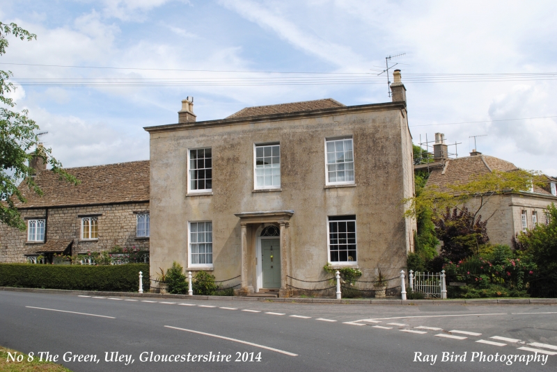
Latitude: 51.6865 / 51°41'11"N
Longitude: -2.3017 / 2°18'6"W
OS Eastings: 379239
OS Northings: 198685
OS Grid: ST792986
Mapcode National: GBR 0LX.6WJ
Mapcode Global: VH953.2V1Z
Plus Code: 9C3VMMPX+J8
Entry Name: 7, the Green
Listing Date: 23 June 1952
Last Amended: 26 April 1984
Grade: II
Source: Historic England
Source ID: 1090846
English Heritage Legacy ID: 131597
ID on this website: 101090846
Location: Crawley, Stroud, Gloucestershire, GL11
County: Gloucestershire
District: Stroud
Civil Parish: Uley
Built-Up Area: Uley
Traditional County: Gloucestershire
Lieutenancy Area (Ceremonial County): Gloucestershire
Church of England Parish: Uley with Owlpen and Nympsfield
Church of England Diocese: Gloucester
Tagged with: Building
ST 79 NE ULEY THE GREEN 4/144 (east side) 23.6.52 No 7 (formerly listed as GV Uley Cottage)
II
Dwelling, formerly two cottages and stabling. Early C19. Coursed and squared rubble, stone slate roofs. In two sections: left, former carriage house with central gable, and with 3 parallel gabled spaces having garage doors to courtyard, left; right, and brought forward from last, cottage with gable stacks, of which right hand is external and fills narrow gap between this and adjacent premises. Carriage block, one storey, two arched windows flanking central double door under segmental arch; main block two storeys, 3-windowed, 2-light sashes with bars to Gothick traceried heads, under wood lintols. Two plank doors, left hand with lean-to stone slate hood on brackets; doors set between paved windows.
Listing NGR: ST7923998685
External links are from the relevant listing authority and, where applicable, Wikidata. Wikidata IDs may be related buildings as well as this specific building. If you want to add or update a link, you will need to do so by editing the Wikidata entry.


Other nearby listed buildings