Latitude: 51.9916 / 51°59'29"N
Longitude: -1.7024 / 1°42'8"W
OS Eastings: 420528
OS Northings: 232618
OS Grid: SP205326
Mapcode National: GBR 4PB.2DM
Mapcode Global: VHBYZ.F6VK
Plus Code: 9C3WX7RX+M2
Entry Name: Harvey House
Listing Date: 30 June 1983
Grade: II
Source: Historic England
Source ID: 1088660
English Heritage Legacy ID: 126703
ID on this website: 101088660
Location: Moreton-in-Marsh, Cotswold, Gloucestershire, GL56
County: Gloucestershire
District: Cotswold
Civil Parish: Moreton-in-Marsh
Built-Up Area: Moreton-in-Marsh
Traditional County: Gloucestershire
Lieutenancy Area (Ceremonial County): Gloucestershire
Church of England Parish: Moreton-in-Marsh St David
Church of England Diocese: Gloucester
Tagged with: House
1. 5224 MORETON-IN-THE-MARSH HIGH STREET (east side) Harvey House SP 2032 NE 2/12
II GV
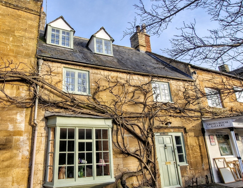
2. Circa 1700. 2½ storeys, ashlar with slate roof. End chimneys. Gabled dormer. Two windows, small 2-light casements on first floor with glazing bars. Three light angled and corbelled bay window to left. Half-glazed door with dripmould to right.
Listing NGR: SP2052832618
External links are from the relevant listing authority and, where applicable, Wikidata. Wikidata IDs may be related buildings as well as this specific building. If you want to add or update a link, you will need to do so by editing the Wikidata entry.


Other nearby listed buildings