Latitude: 54.9176 / 54°55'3"N
Longitude: -3.0264 / 3°1'35"W
OS Eastings: 334304
OS Northings: 558580
OS Grid: NY343585
Mapcode National: GBR 7C9K.LZ
Mapcode Global: WH7ZV.HN2G
Plus Code: 9C6RWX9F+2C
Entry Name: Monkhill Windmill
Listing Date: 19 September 1984
Grade: II
Source: Historic England
Source ID: 1087485
English Heritage Legacy ID: 78209
ID on this website: 101087485
Location: Monkhill, Cumberland, Cumbria, CA5
County: Cumberland
District: Carlisle
Civil Parish: Beaumont
Traditional County: Cumberland
Lieutenancy Area (Ceremonial County): Cumbria
Church of England Parish: Kirkandrews-on-Eden with Beaumont St Mary
Church of England Diocese: Carlisle
Tagged with: Building
NY 35 NW BEAUMONT Monkhill
5/24 Monkhill Windmill
II
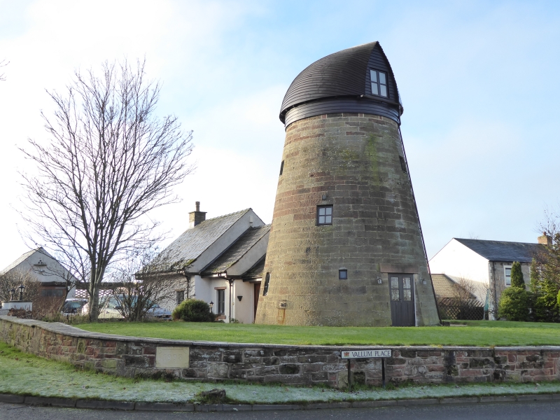
Former windmill. Late C18. Red sandstone ashlar. 3 storeys, conical shape. 2 ground floor entrances with wooden lintels. Window openings on 3 levels. Roof and sails missing; derelict and unoccupied at time of survey. See Transactions Cumberland & Westmorland Antiquarian & Archaeological Society, new series, lxxii, pp129-132.
Listing NGR: NY3430458580
External links are from the relevant listing authority and, where applicable, Wikidata. Wikidata IDs may be related buildings as well as this specific building. If you want to add or update a link, you will need to do so by editing the Wikidata entry.


Other nearby listed buildings