Latitude: 51.3318 / 51°19'54"N
Longitude: 1.4234 / 1°25'24"E
OS Eastings: 638575
OS Northings: 164756
OS Grid: TR385647
Mapcode National: GBR X0M.DQ7
Mapcode Global: VHMCW.MSCD
Plus Code: 9F338CJF+P9
Entry Name: The Obelisk
Listing Date: 4 February 1988
Grade: II
Source: Historic England
Source ID: 1086090
English Heritage Legacy ID: 171988
ID on this website: 101086090
Location: Ramsgate, Thanet, Kent, CT11
County: Kent
District: Thanet
Civil Parish: Ramsgate
Built-Up Area: Ramsgate
Traditional County: Kent
Lieutenancy Area (Ceremonial County): Kent
Tagged with: Obelisk
RAMSGATE ROYAL HARBOUR TR 3864 NE 14/352 The Obelisk GV II
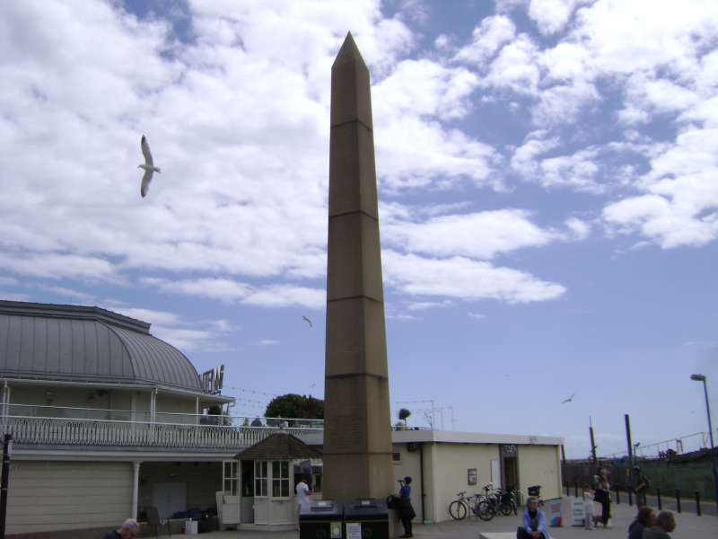
Obelisk. 1822 to 23, by John Shaw. Dunleary stone. Fifty two and a half feet high. Inscribed (in English and Latin). To George the Fourth King of Great Britain and Ireland The Inhabitants and Visitors of Ramsgate and the Directors and Trustees of the Harbour have erected this Obelisk as a grateful record of his Majesty's gracious condescension in selecting this Port for his Embarkation on the 25th September in Progress to his Kingdom of Hanover and his happy Return on the 8th November 1821
Listing NGR: TR3857564756
External links are from the relevant listing authority and, where applicable, Wikidata. Wikidata IDs may be related buildings as well as this specific building. If you want to add or update a link, you will need to do so by editing the Wikidata entry.


Other nearby listed buildings