Latitude: 53.8193 / 53°49'9"N
Longitude: -0.9271 / 0°55'37"W
OS Eastings: 470733
OS Northings: 436428
OS Grid: SE707364
Mapcode National: GBR PSZ8.2M
Mapcode Global: WHFCY.Q8RC
Plus Code: 9C5XR39F+P5
Entry Name: Derwent Bridge
Listing Date: 16 December 1966
Grade: II
Source: Historic England
Source ID: 1083203
English Heritage Legacy ID: 165255
Also known as: Derwent Bridge (That Part In Selby District)
ID on this website: 101083203
Location: Bubwith, East Riding of Yorkshire, YO8
County: East Riding of Yorkshire
Civil Parish: Bubwith
Built-Up Area: Bubwith
Traditional County: Yorkshire
Lieutenancy Area (Ceremonial County): East Riding of Yorkshire
Church of England Parish: Bubwith All Saints
Church of England Diocese: York
Tagged with: Bridge Road bridge
The asset was previously listed twice also under the parish of Selby at List entry 1296609. This entry was removed from the List on 06/12/2024.
SE 73 NW
3/30
16.12.66
BUBWITH
NORTH DUFFIELD ROAD
Derwent Bridge
II
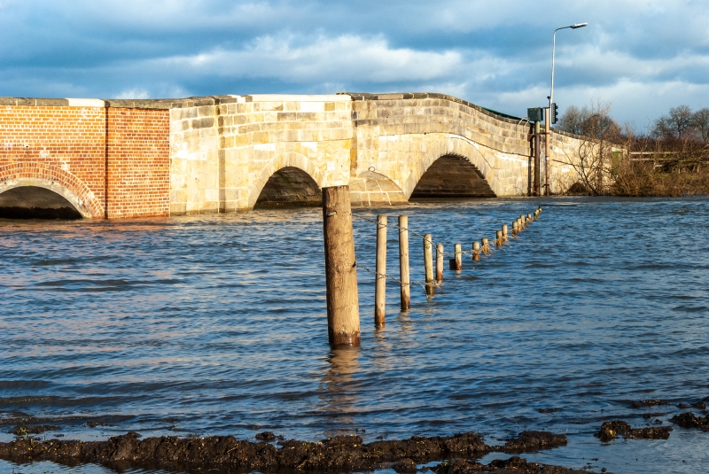
Bridge. 1793. Ashlar. 3 stepped segmental arches divided by flat
buttresses, over round cutwaters to either side of main arch. Coped
4-course parapet.
Listing NGR: SE 70733 36428
External links are from the relevant listing authority and, where applicable, Wikidata. Wikidata IDs may be related buildings as well as this specific building. If you want to add or update a link, you will need to do so by editing the Wikidata entry.


Other nearby listed buildings