Latitude: 53.7476 / 53°44'51"N
Longitude: -0.8624 / 0°51'44"W
OS Eastings: 475116
OS Northings: 428518
OS Grid: SE751285
Mapcode National: GBR QTF3.29
Mapcode Global: WHFDC.Q2JB
Plus Code: 9C5XP4XQ+32
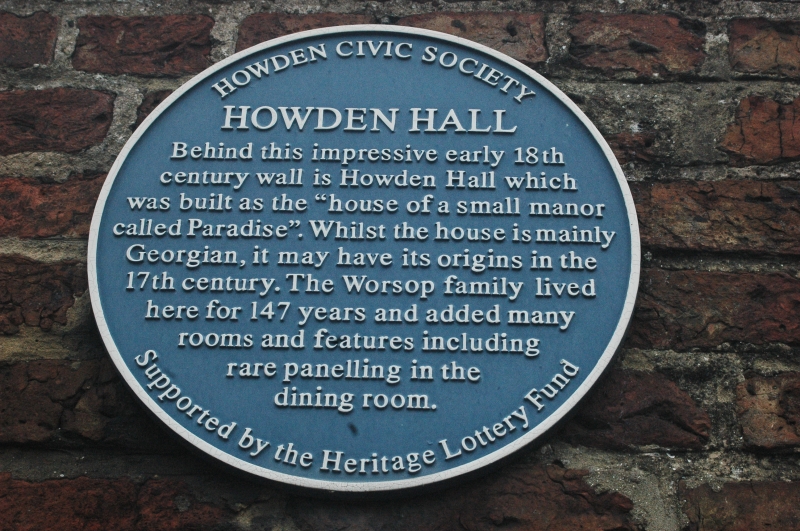
Entry Name: Section of Garden Wall to South of Howden Hall
Listing Date: 16 December 1966
Last Amended: 15 September 1987
Grade: II
Source: Historic England
Source ID: 1083193
English Heritage Legacy ID: 165329
ID on this website: 101083193
Location: Howden, East Riding of Yorkshire, DN14
County: East Riding of Yorkshire
Civil Parish: Howden
Built-Up Area: Howden
Traditional County: Yorkshire
Lieutenancy Area (Ceremonial County): East Riding of Yorkshire
Church of England Parish: Howden with Barmby on the Marsh
Church of England Diocese: York
Tagged with: Building
HOWDEN FLATGATE SE 7528 (north side)
13/101 Section of garden wall to south of Howden Hall 16.12.66 (formerly listed as garden walls to roadway at Howden Hall)
GV II Garden wall. C18. Red brick in English garden wall bond. Approximately 75 metres in length, running from corner with Station Street at west end to gates at east end. Approximately 3 metres in height with round-headed doorway flanked by rectangular panels to centre. To either side are round- headed doorways with pilasters and architraves in projecting wall sections. Flat copings.
Listing NGR: SE7511528519
External links are from the relevant listing authority and, where applicable, Wikidata. Wikidata IDs may be related buildings as well as this specific building. If you want to add or update a link, you will need to do so by editing the Wikidata entry.


Other nearby listed buildings