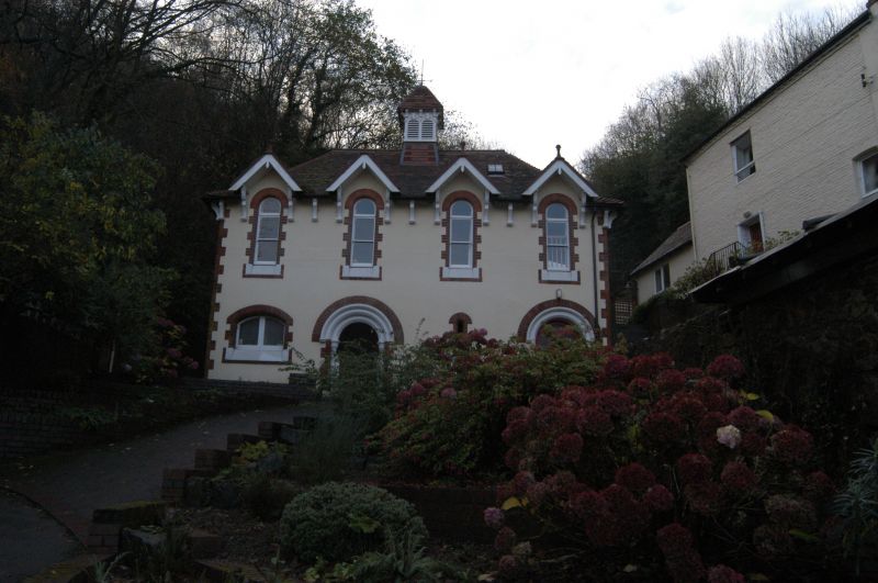
Latitude: 52.0789 / 52°4'44"N
Longitude: -2.3366 / 2°20'11"W
OS Eastings: 377027
OS Northings: 242336
OS Grid: SO770423
Mapcode National: GBR 0G0.Q2G
Mapcode Global: VH93B.G02M
Plus Code: 9C4V3MH7+H9
Entry Name: Holy Well Cottage
Listing Date: 11 May 1979
Grade: II
Source: Historic England
Source ID: 1082771
English Heritage Legacy ID: 152097
ID on this website: 101082771
Location: Malvern Wells, Malvern Hills, Worcestershire, WR14
County: Worcestershire
District: Malvern Hills
Civil Parish: Malvern Wells
Built-Up Area: Great Malvern
Traditional County: Worcestershire
Lieutenancy Area (Ceremonial County): Worcestershire
Church of England Parish: Malvern Wells and Wyche
Church of England Diocese: Worcester
Tagged with: Cottage
HOLY WELL ROAD 1. 5245 (West Side) Holy Well Cottage SO 7742 10/130 II GV 2. Early C19 house of 2 storeys in painted brick with tile roof, rendered to gable end. Dentil brick eaves cornice. One window over moulded doorway, panelled reveals, panelled door. One window to right, modern glazing. Included for group value.
Listing NGR: SO7702742336
External links are from the relevant listing authority and, where applicable, Wikidata. Wikidata IDs may be related buildings as well as this specific building. If you want to add or update a link, you will need to do so by editing the Wikidata entry.


Other nearby listed buildings