Latitude: 52.1231 / 52°7'23"N
Longitude: -2.317 / 2°19'1"W
OS Eastings: 378391
OS Northings: 247245
OS Grid: SO783472
Mapcode National: GBR 0FG.WHZ
Mapcode Global: VH92Y.SWFT
Plus Code: 9C4V4MFM+65
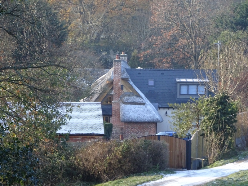
Entry Name: The Hermitage
Listing Date: 12 May 1977
Grade: II
Source: Historic England
Source ID: 1082739
English Heritage Legacy ID: 152123
ID on this website: 101082739
Location: Malvern Link, Malvern Hills, Worcestershire, WR14
County: Worcestershire
District: Malvern Hills
Civil Parish: Malvern
Built-Up Area: Great Malvern
Traditional County: Worcestershire
Lieutenancy Area (Ceremonial County): Worcestershire
Church of England Parish: Malvern The Holy Trinity
Church of England Diocese: Worcester
Tagged with: Building Thatched cottage
PICKERSLEIGH ROAD 1. 5245 The Hermitage SO 7847 17/90 12.5.77. II 2. Square timber-framing and thatched roof. The 2 end bays to the east of one storey and attic with lower roof line has more substantial roof timbers and may be of the late C16 or early C17. The attic storey, with 3 dormers cut into the thatch, was probably inserted when the 2-storey 3-bay main part of the cottage was added in the later part of the C17. Painted brick infill to panels. Brick and stone mix plinth. External chimney stacks, that to the east end abutting on thatched outshut bread oven. C19 and recent alterations to rear. Majority of windows are 2-light wood casements. Small shaped attic lights abutting chimney stacks in gable ends. Gabled tiled porch on slender column supports.
Listing NGR: SO7839147245
External links are from the relevant listing authority and, where applicable, Wikidata. Wikidata IDs may be related buildings as well as this specific building. If you want to add or update a link, you will need to do so by editing the Wikidata entry.


Other nearby listed buildings