Latitude: 52.139 / 52°8'20"N
Longitude: -1.9204 / 1°55'13"W
OS Eastings: 405541
OS Northings: 248968
OS Grid: SP055489
Mapcode National: GBR 3KS.TJ0
Mapcode Global: VHB0M.NHLL
Plus Code: 9C4W43QH+HR
Entry Name: Langton House
Listing Date: 9 January 1987
Grade: II
Source: Historic England
Source ID: 1081587
English Heritage Legacy ID: 148687
ID on this website: 101081587
Location: Harvington, Wychavon, Worcestershire, WR11
County: Worcestershire
District: Wychavon
Civil Parish: Harvington
Built-Up Area: Harvington
Traditional County: Worcestershire
Lieutenancy Area (Ceremonial County): Worcestershire
Church of England Parish: Harvington
Church of England Diocese: Worcester
Tagged with: House
HARVINGTON CP VILLAGE STREET (east side) SP 0448 - SP 0548
10/84 Langton House
- II
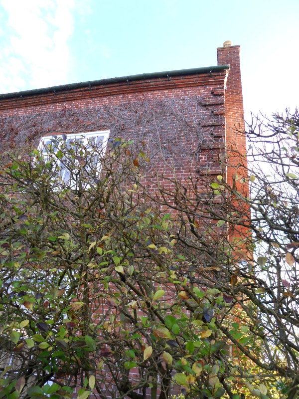
House. Early C18 with some mid-C19 alterations. Brick with tile roof and gable-end stack. Two storeys, moulded brick cornice, projecting brick quoins and band. Three windows: two 3-light casements flank a 2-light casement, all under rubbed brick heads. Ground floor has two 16-pane boxed sashes. Central entrance has doorcase with fluted pilasters, open pediment, fanlight, and door of six raised and fielded panels.
Listing NGR: SP0554148967
External links are from the relevant listing authority and, where applicable, Wikidata. Wikidata IDs may be related buildings as well as this specific building. If you want to add or update a link, you will need to do so by editing the Wikidata entry.


Other nearby listed buildings