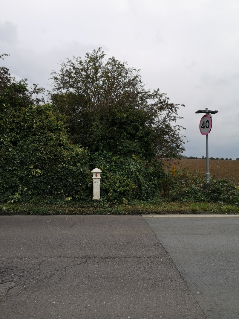
Latitude: 51.599 / 51°35'56"N
Longitude: 0.1482 / 0°8'53"E
OS Eastings: 548883
OS Northings: 191091
OS Grid: TQ488910
Mapcode National: GBR RN.S22
Mapcode Global: VHHN6.J26K
Plus Code: 9F32H4XX+H7
Entry Name: Coal Duty Boundary Post
Listing Date: 6 October 1982
Grade: II
Source: Historic England
Source ID: 1079851
English Heritage Legacy ID: 201690
ID on this website: 101079851
Location: Marks Gate, Havering, London, RM5
County: London
District: Havering
Parish: Non Civil Parish
Built-Up Area: Havering
Traditional County: Essex
Lieutenancy Area (Ceremonial County): Greater London
Church of England Parish: Collier Row the Ascension
Church of England Diocese: Chelmsford
Tagged with: Coal-tax post Coal duty marker
The following shall be added:-
1.
5107
TQ 49 SE
3/1
HOG HILL ROAD
Coal Duty Boundary Post
II
2.
Mid C19. Cast iron; square ornamental post inscribed with coat of arms of City
of London and heading of Coal Duty Act. Set up after 1861 Act.
Listing NGR: TQ4888391091
External links are from the relevant listing authority and, where applicable, Wikidata. Wikidata IDs may be related buildings as well as this specific building. If you want to add or update a link, you will need to do so by editing the Wikidata entry.


Other nearby listed buildings