Latitude: 51.1563 / 51°9'22"N
Longitude: 0.6761 / 0°40'33"E
OS Eastings: 587236
OS Northings: 143074
OS Grid: TQ872430
Mapcode National: GBR QV3.HRB
Mapcode Global: VHJN2.N6SF
Plus Code: 9F325M4G+GC
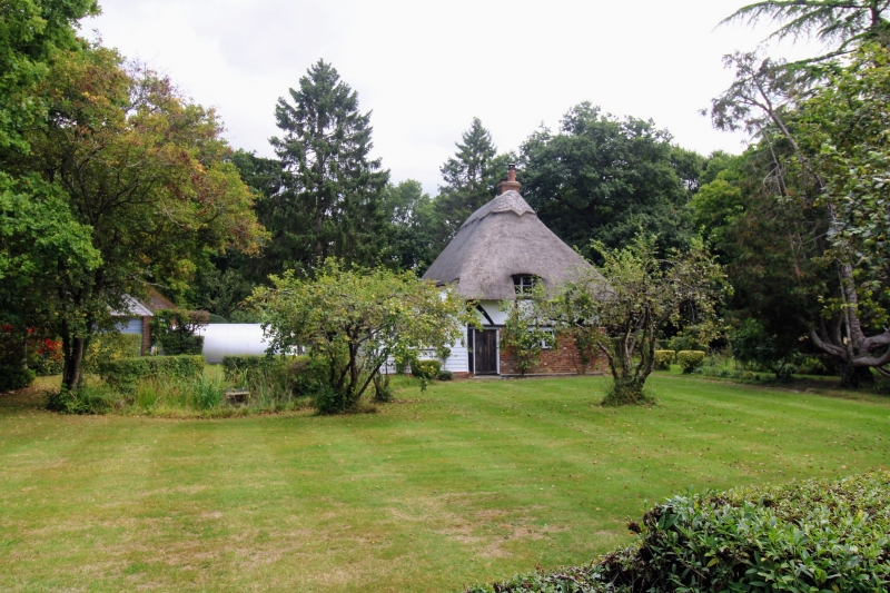
Entry Name: The Roundabout
Listing Date: 10 October 1980
Grade: II
Source: Historic England
Source ID: 1071332
English Heritage Legacy ID: 181286
ID on this website: 101071332
Location: Smarden Bell, Ashford, Kent, TN27
County: Kent
District: Ashford
Civil Parish: Smarden
Traditional County: Kent
Lieutenancy Area (Ceremonial County): Kent
Tagged with: Building Thatched cottage
1. 5272 SMARDEN WATER LANE Smarden Bell The Roundabout TQ 84 SE 13/51
II
2. C17 or earlier restored timber-framed cottage of 2 storeys, with plaster infilling and diagonal braces, the ground floor rebuilt in brick, now painted. Hipped thatched roof. Three casement windows.
Listing NGR: TQ8723643074
External links are from the relevant listing authority and, where applicable, Wikidata. Wikidata IDs may be related buildings as well as this specific building. If you want to add or update a link, you will need to do so by editing the Wikidata entry.


Other nearby listed buildings