Latitude: 51.2059 / 51°12'21"N
Longitude: 1.2376 / 1°14'15"E
OS Eastings: 626253
OS Northings: 150175
OS Grid: TR262501
Mapcode National: GBR W0L.7QP
Mapcode Global: VHLGX.DYND
Plus Code: 9F33664Q+93
Entry Name: Seathwood
Listing Date: 3 December 1986
Grade: II
Source: Historic England
Source ID: 1070308
English Heritage Legacy ID: 177876
ID on this website: 101070308
Location: Barfrestone, Dover, Kent, CT15
County: Kent
District: Dover
Civil Parish: Eythorne
Traditional County: Kent
Lieutenancy Area (Ceremonial County): Kent
Tagged with: Building Thatched cottage
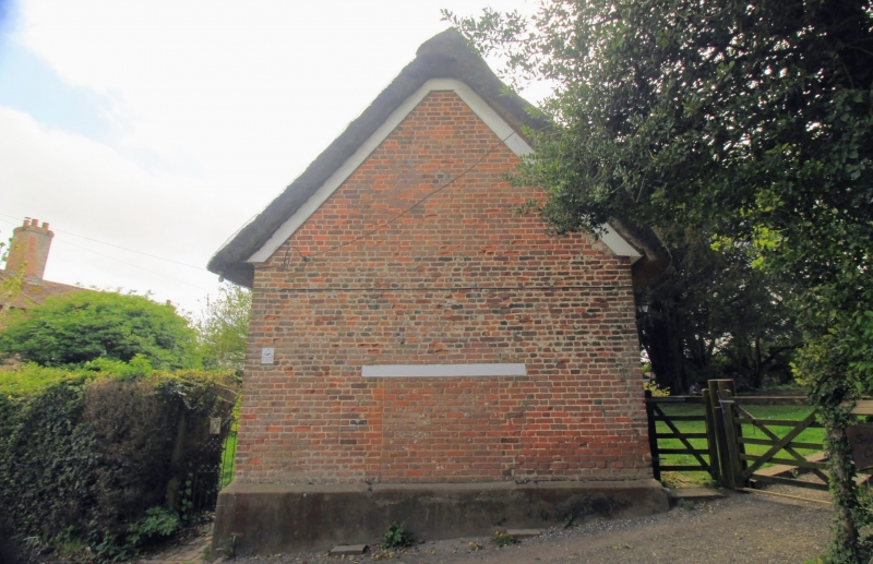
EYTHORNE BARFRESTONE TR 25 SE 3/15 Seathwood GV II House, sometime cottage pair. Circa 1700 in origin. Red brick and thatched roof. Two storeys on plinth with plat band and stack to centre left. Two metal casements and 1 wooden casement on first floor, and 2 metal casements and blocked window opening to right on ground floor with segmental heads. Segmentally headed half-glazed doors to left and to right. Included for group value.
Listing NGR: TR2625350175
External links are from the relevant listing authority and, where applicable, Wikidata. Wikidata IDs may be related buildings as well as this specific building. If you want to add or update a link, you will need to do so by editing the Wikidata entry.


Other nearby listed buildings