Latitude: 51.2462 / 51°14'46"N
Longitude: 1.3075 / 1°18'26"E
OS Eastings: 630928
OS Northings: 154868
OS Grid: TR309548
Mapcode National: GBR X1F.TMJ
Mapcode Global: VHLGR.MY21
Plus Code: 9F3368W4+FX
Entry Name: Eastry House
Listing Date: 26 November 1987
Grade: II
Source: Historic England
Source ID: 1070181
English Heritage Legacy ID: 178175
ID on this website: 101070181
Location: Eastry, Dover, Kent, CT13
County: Kent
District: Dover
Civil Parish: Eastry
Built-Up Area: Eastry
Traditional County: Kent
Lieutenancy Area (Ceremonial County): Kent
Tagged with: House
TR 3054 EASTRY HIGH STREET
(west side) 12/144 Eastry House
GV II
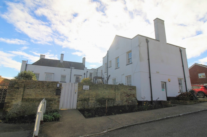
House, now institution. Early C19, added to in late C19. Rendered with slate roof. Two storeys with rusticated ground floor and parapet with stacks to centre and to end right. Five bay front, consisting of glazing bar sashes set in 2 storey elliptically arched recesses. The 2 end left window bays project, as does that to centre right, topped with a cornice and parapet, and containing the entrance, a panelled door in the right side of 1 storey porch with tripartite glazing bar sash to front. Later C19 wings to rear and C20 1 storey extension to left. Interior; stair with wreathed handrails and turned principal newels, unturned balusters on open string; 2 flights with full landing. Staircase hall with egg and tongue frieze and plaster ceiling rose. Other Neo-Classical details elsewhere in building. Chamfered ceiling joists in rear range indicate probable earlier core to building.
Listing NGR: TR3092854868
External links are from the relevant listing authority and, where applicable, Wikidata. Wikidata IDs may be related buildings as well as this specific building. If you want to add or update a link, you will need to do so by editing the Wikidata entry.


Other nearby listed buildings