Latitude: 51.2686 / 51°16'6"N
Longitude: 1.3394 / 1°20'21"E
OS Eastings: 633041
OS Northings: 157453
OS Grid: TR330574
Mapcode National: GBR X18.HF8
Mapcode Global: VHLGS.5CFW
Plus Code: 9F33789Q+CP
Entry Name: 6, St Bartholomews
Listing Date: 23 April 1976
Grade: II
Source: Historic England
Source ID: 1069717
English Heritage Legacy ID: 177382
ID on this website: 101069717
This list entry was subject to a Minor Amendment on 30 May 2025 to amend the name and address and reformat the text to current standards
TR 3357
3/192F
ST BARTHOLOMEWS
No 6
(Formerly listed as No 6 St Barts, DOVER ROAD)
GV
II
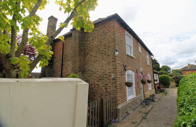
Dated 1733. Brindle brick with tiled roof. Half brick segmental arches over ground floor windows. Glazing bars intact. Six-panel door upper two glazed bottom two bead flush. The base of this building stands on yellow dutch brick base. No 7 which is attached to No 6 is modern.
Bartlemas and the complex of St Bartholomews Hospital form a group.
Listing NGR: TR3315657614
External links are from the relevant listing authority and, where applicable, Wikidata. Wikidata IDs may be related buildings as well as this specific building. If you want to add or update a link, you will need to do so by editing the Wikidata entry.


Other nearby listed buildings