Latitude: 51.0622 / 51°3'44"N
Longitude: 1.07 / 1°4'12"E
OS Eastings: 615214
OS Northings: 133694
OS Grid: TR152336
Mapcode National: GBR V0S.7CR
Mapcode Global: FRA F649.SSS
Plus Code: 9F33336C+V2
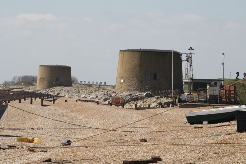
Entry Name: Martello Tower (No 15)
Listing Date: 21 December 1973
Grade: II
Source: Historic England
Source ID: 1068964
English Heritage Legacy ID: 175168
ID on this website: 101068964
Location: Pennypot, Folkestone and Hythe, Kent, CT21
County: Kent
District: Folkestone and Hythe
Civil Parish: Hythe
Built-Up Area: Hythe
Traditional County: Kent
Lieutenancy Area (Ceremonial County): Kent
This list entry was subject to a Minor Amendment on 28 August 2024 to amend details in the description and to reformat the text to current standards
TR 13 SE
5/78B
THE RANGES
Martello Tower (No 15)
II
Erected in 1806 as part of the coastal defence system against an invasion from Napoleonic France. Skin of Flemish bond facing brick set flush with the masonry coping and door surrounds in place of the usual rendered finish. The walls are 5½ to 6 ft thick. It is built around a centre column 5 ft thick and consists of two storeys with a flat roof as a gun platform.
Listing NGR: TR1521433694


Other nearby listed buildings