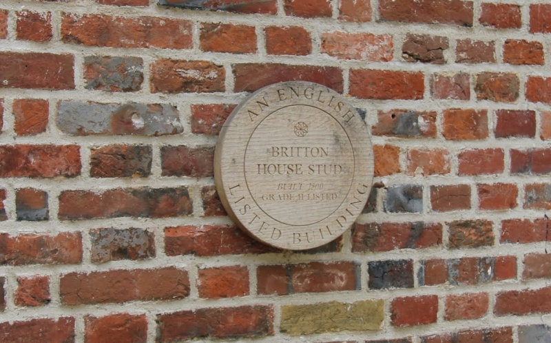
Latitude: 51.1853 / 51°11'6"N
Longitude: 0.8148 / 0°48'53"E
OS Eastings: 596813
OS Northings: 146659
OS Grid: TQ968466
Mapcode National: GBR RW7.NTG
Mapcode Global: VHKKF.2GMQ
Plus Code: 9F325RP7+4W
Entry Name: Britton House Stud
Listing Date: 10 October 1980
Grade: II
Source: Historic England
Source ID: 1068648
English Heritage Legacy ID: 181300
ID on this website: 101068648
Location: Ram Lane, Ashford, Kent, TN25
County: Kent
District: Ashford
Civil Parish: Hothfield
Built-Up Area: Ram Lane
Traditional County: Kent
Lieutenancy Area (Ceremonial County): Kent
Tagged with: Cottage
This list entry was subject to a Minor Amendment on 28 July 2025 to update the Name and Address and reformat the text to current standards
TQ 94 NE
11/180
WESTWELL
RAM LANE
Britton House Stud
(Formerly listed as MAIDSTONE ROAD Ram Lane Sandpit Cottages)
II
Probably late mediaeval hall-house refronted. Two storeys red brick. Steeply-pitched hipped tiled roof. Three casement windows.
Listing NGR: TQ9681346659
External links are from the relevant listing authority and, where applicable, Wikidata. Wikidata IDs may be related buildings as well as this specific building. If you want to add or update a link, you will need to do so by editing the Wikidata entry.


Other nearby listed buildings