Latitude: 51.0948 / 51°5'41"N
Longitude: 0.5285 / 0°31'42"E
OS Eastings: 577152
OS Northings: 135872
OS Grid: TQ771358
Mapcode National: GBR PTC.8FQ
Mapcode Global: FRA C6Z7.CQC
Plus Code: 9F323GVH+WC
Entry Name: Beemans
Listing Date: 19 May 1986
Grade: II
Source: Historic England
Source ID: 1068545
English Heritage Legacy ID: 169011
ID on this website: 101068545
Location: Cranbrook, Tunbridge Wells, Kent, TN17
County: Kent
District: Tunbridge Wells
Civil Parish: Cranbrook & Sissinghurst
Built-Up Area: Cranbrook
Traditional County: Kent
Lieutenancy Area (Ceremonial County): Kent
Tagged with: Building
CRANBROOK HIGH STREET TQ 7735 NW (south side) 11/162 - Beemans GV II
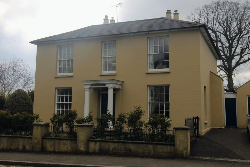
House. Early-mid C19. Stucco with boxed eaves to low hipped slate roof with stacks to rear. 2 storeys. Regular 3 window front, glazing bar sashes. Cen- tral entrance with panelled door and projecting flat headed porch on Tuscan columns.
Listing NGR: TQ7715335871
External links are from the relevant listing authority and, where applicable, Wikidata. Wikidata IDs may be related buildings as well as this specific building. If you want to add or update a link, you will need to do so by editing the Wikidata entry.


Other nearby listed buildings