Latitude: 51.3168 / 51°19'0"N
Longitude: 0.8864 / 0°53'11"E
OS Eastings: 601238
OS Northings: 161472
OS Grid: TR012614
Mapcode National: GBR SW3.8YL
Mapcode Global: VHKJW.95YD
Plus Code: 9F328V8P+PH
Entry Name: 76, West Street
Listing Date: 4 May 1970
Grade: II
Source: Historic England
Source ID: 1067540
English Heritage Legacy ID: 438550
Also known as: Castle, Faversham
Castle
ID on this website: 101067540
This list entry was subject to a Minor Amendment on 23 April 2025 to update the Name and Address and reformat the text to current standards
TR O161 SW
2/126
WEST STREET (North Side)
No 76
(Formerly listed as No 76 (The Castle Inn))
4.5.70.
II
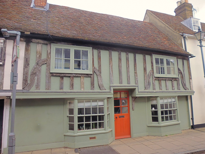
Similar C15 house, but refaced in the C18; timber-framing exposed on the first floor. Parapet. Two small bays on the ground floor, their glazing bars intact. Casement windows above.
Listing NGR: TR0124161479
External links are from the relevant listing authority and, where applicable, Wikidata. Wikidata IDs may be related buildings as well as this specific building. If you want to add or update a link, you will need to do so by editing the Wikidata entry.


Other nearby listed buildings