Latitude: 52.6649 / 52°39'53"N
Longitude: 0.0215 / 0°1'17"E
OS Eastings: 536804
OS Northings: 309378
OS Grid: TF368093
Mapcode National: GBR L1K.S9T
Mapcode Global: WHHN9.98HW
Plus Code: 9F42M27C+WH
Entry Name: Bridge and Sluices
Listing Date: 31 October 1983
Grade: II
Source: Historic England
Source ID: 1064539
English Heritage Legacy ID: 197935
ID on this website: 101064539
Location: Parson Drove, Fenland, Cambridgeshire, PE13
County: Lincolnshire
District: South Holland
Civil Parish: Parson Drove
Traditional County: Lincolnshire
Lieutenancy Area (Ceremonial County): Lincolnshire
Church of England Parish: Southea with Murrow and Parson Drove
Church of England Diocese: Ely
Tagged with: Bridge
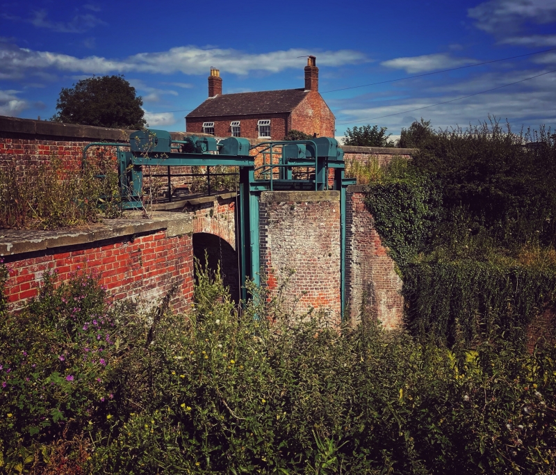
SUTTON ST. EDMUND CLOUGHS CROSS TF 30 NE 10/89 Bridge and Sluices 31/10/83 II Bridge and sluice gates, now removed, at confluence of New South Eau Drain and North Level Drain. Dated 1833 on plaque to parapet. Mostly red brick. Bridge of four spans and three cutwaters. Eliptical arches with raised key blocks and parapet with stone coping and end and intermediate spur stones. On the west side, there is an opening in the parapet for a roadway to a store and workshop associated with the North Level Drain. The south east portion of the bridge and sluice gates are in Cambrigeshire, the parish of Parson Drove, item 9/61. Alderton and Booker: Batsford Guide to Industrial Archaeology of East Anglia.
Listing NGR: TF3680409378
External links are from the relevant listing authority and, where applicable, Wikidata. Wikidata IDs may be related buildings as well as this specific building. If you want to add or update a link, you will need to do so by editing the Wikidata entry.


Other nearby listed buildings